 Scotland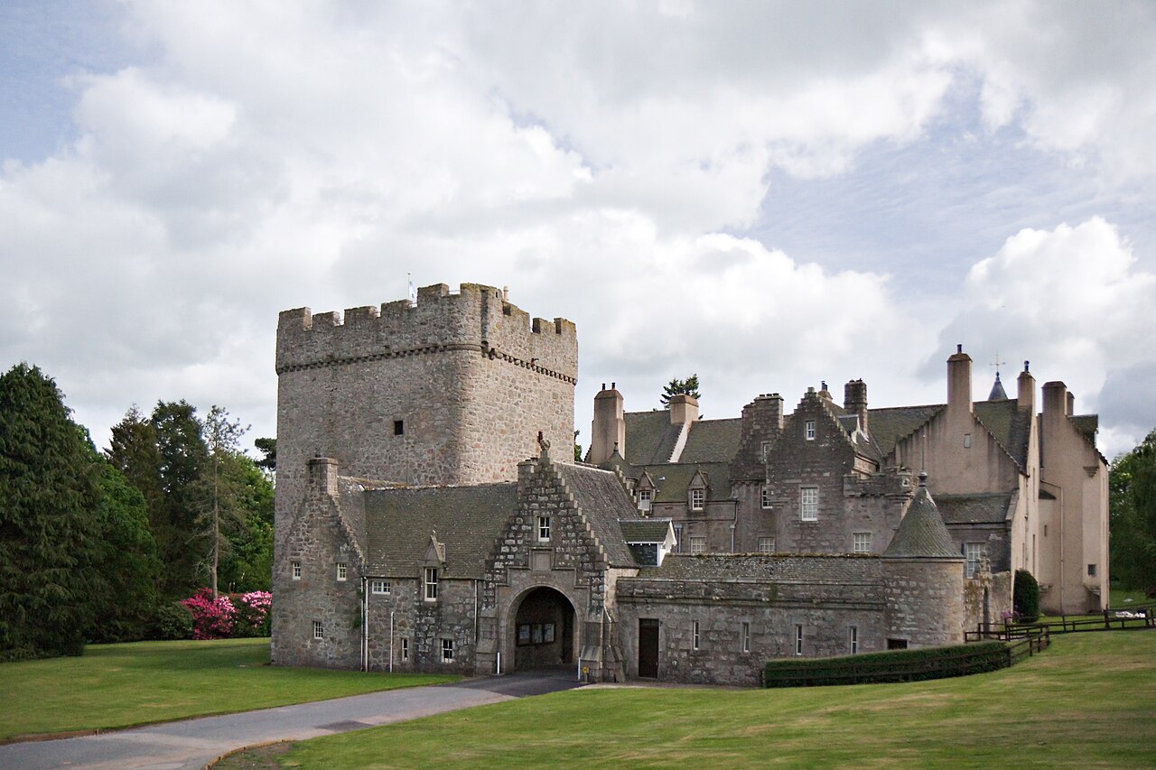
Drum Castle is a castle near Drumoak in Aberdeenshire, Scotland. For centuries it was the seat of the chief of Clan Irvine. The place-name Drum is derived from Gaelic druim, 'ridge'. The site is located approximately 6+1⁄2 miles (10.5 kilometres) northeast of Banchory and 3 miles (5 kilometres) west of Peterculter. The property is now owned by the National Trust for Scotland and is open to the public.
Text adapted from “Drum Castle” on Wikipedia, CC BY-SA 4.0.
Drum Castle ranks #1,591 of 9,079 worldwide in the atlas's castle fame ranking, and #53 of the 226 mapped in Scotland. Its Wikipedia articles were opened 3,033 times in the last 60 days, more than 78% of the atlas. 9 more atlas landmarks stand within 25 km. The nearest day-trip guide is Aberdeen, 16 km away. It is one of the 30 landmarks on the atlas's regional map of Aberdeenshire. It is stop 3 of 23 on the Aberdeenshire castle trail, Stonehaven to Aberdeen. See how Scotland compares in the castle statistics.
View on the interactive castle map →