Ruin
Jraberd
🇦🇿 Azerbaijan
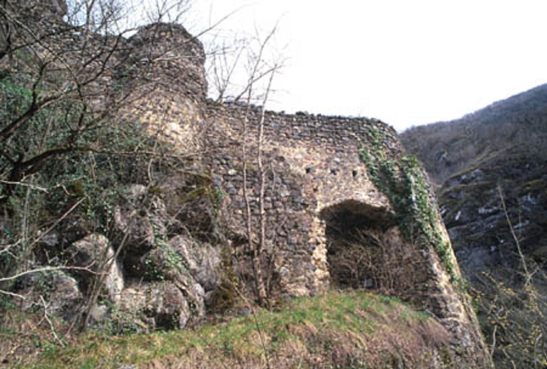
Jraberd (Armenian: Ջրաբերդ) or Chileburt (Azerbaijani: Çiləbürt, also Çiləbörd, Chilabord) is a village located in the Aghdara District of Azerbaijan, in the region of Nagorno-Karabakh. Until 2023, it was controlled by the breakaway Republic of Artsakh. The village had an ethnic Armenian-majority population until the expulsion of the Armenian population of Nagorno-Karabakh by Azerbaijan following the 2023 Azerbaijani offensive in Nagorno-Karabakh.
Text adapted from “Jraberd, Martakert” on Wikipedia, CC BY-SA 4.0.
Jraberd ranks #6,549 of 8,134 worldwide in the atlas's castle fame ranking, and #38 of the 45 mapped in Azerbaijan. 2 more atlas landmarks stand within 25 km. The nearest day-trip guide is Ganja, 56 km away. See how Azerbaijan compares in the castle statistics.
View on the interactive castle map →Frequently asked questions
Where is Jraberd?
Jraberd stands in Azerbaijan, at 40.23861°, 46.66333°.
How famous is Jraberd?
In this atlas's fame ranking: #6,549 of 8,134 worldwide, and #38 in Azerbaijan. Fame here combines how many Wikipedia language editions cover a landmark with how many people read them.
What is the nearest castle to Jraberd?
Gulustan Fortress, about 15 km away.
More castles in Azerbaijan
- Fortress of Goyazan Azerbaijan
- Jinli Qala Azerbaijan · 7th century
- Fortress ruins in Ilisu Azerbaijan
- Chingizgala Azerbaijan · 16th century
More ruins
- Fort St. Anthony of Simbor India · 18th century
- Gooty Fort India
- Bhongir Fort India · 7th century
- Burgruine Rothenthurn Austria