Ruin
Dun Carloway
 Scotland · 1st century BC
- Founded
- c. 50 BC
- Heritage status
- scheduled monument
- Location
- Outer Hebrides
- Coordinates
- 58.26961°, -6.79397°
- Open data
- Wikidata Q1265209
- Links
- Wikimedia Commons
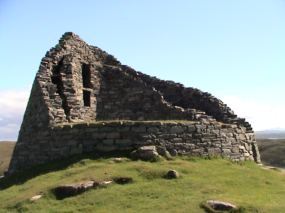
Description
Dun Carloway (Scottish Gaelic: Dùn Chàrlabhaigh) is a broch situated in the district of Carloway, on the west coast of the Isle of Lewis, Scotland (grid reference NB18994122). It is a remarkably well preserved broch – on the east side parts of the old wall still reach to 9 metres tall.
The broch known today as Dun Carloway takes its name from the Scottish Gaelic Dùn Chàrlabhaigh. The first element, dùn, simply means "fort" in Gaelic and is commonly used in Scotland for prehistoric or early historic fortified sites, including brochs.
The second element, Càrlabhaigh, refers to the district of Carloway on the west coast of the Isle of Lewis. The exact meaning of the name is uncertain, but most scholars connect it to Old Norse, reflecting the Norse settlement of the Hebrides between the 9th and 13th centuries.
A widely accepted interpretation links the name to the Old Norse personal name Karl together with vágr, meaning "bay" or "inlet". In that case the original sense would have been something like "Karl's bay" or "the bay of the free man". Over time this Norse name was adapted into Gaelic phonology as Càrlabhaigh.
The full Gaelic name Dùn Chàrlabhaigh therefore means "the fort of Carloway", referring to the broch overlooking the district and Loch Carloway.
The modern English form Dun Carloway is simply an Anglicised rendering of the Gaelic name. It became standard in antiquarian and archaeological writing during the nineteenth century as English became the dominant language of scholarly publication in Scotland.
Most brochs were built in the period from 100 BC to 100 AD. Dun Carloway was probably built in the 1st century AD. It probably got its current name from the Norse Karlavagr ("Karl's bay"), a relic of its time as part of the Kingdom of the Isles. Through the centuries Dun Carloway remained in use until the floor level was too high due to build-up of the occupation layers.
The broch was occasionally used in later times as a stronghold. The Morrisons of Ness put Dun Carloway into use in 1601. The story goes that they had stolen cattle from the MacAuleys of Uig. The MacAuleys wanted their cattle back and found the Morrisons in the broch. One of them, Donald Cam MacAuley, climbed the outer wall using two daggers and managed to smoke out the inhabitants by throwing heather into the broch and then setting fire to it. The MacAuleys then destroyed the broch.
Text adapted from “Dun Carloway” on Wikipedia, CC BY-SA 4.0.
In the rankings
Dun Carloway ranks #2,332 of 9,902 worldwide in the atlas's castle fame ranking, and #82 of the 252 mapped in Scotland. Founded c. 50 BC, it is older than 99% of the atlas's dated landmarks, one of 18 atlas entries founded in the 1st century BC. Its Wikipedia articles were opened 1,292 times in the last 60 days, more than 63% of the atlas. 1 more atlas landmarks stand within 25 km. It is one of the 84 landmarks on the atlas's regional map of the Scottish Highlands. See how Scotland compares in the castle statistics.
Castles nearby
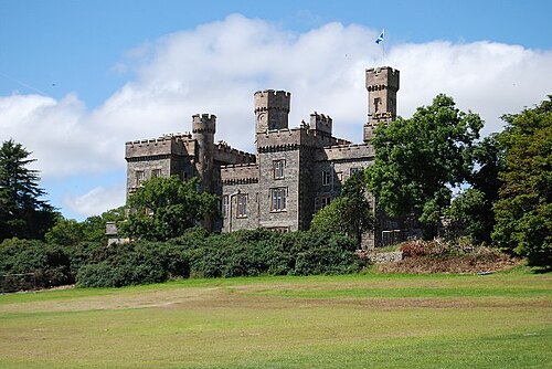
- Lews Castle24 km · Scotland
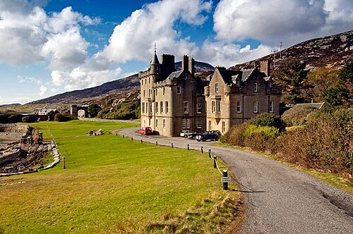
- Amhuinnsuidhe Castle36 km · Scotland
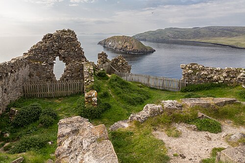
- Duntulm Castle70 km · Scotland
- Dunvegan Castle92 km · Scotland
More castles in Scotland
- Rothesay CastleScotland · 13th century
- Roslin CastleScotland · 14th century
- Scalloway CastleScotland · 16th century
- St Andrews CastleScotland · 12th century