Ruin
Dun Telve
 Scotland
- Heritage status
- part of a Scheduled Monument
- Location
- Glenelg
- Coordinates
- 57.19451°, -5.59485°
- Open data
- Wikidata Q3342584
- Links
- Wikimedia Commons
Description
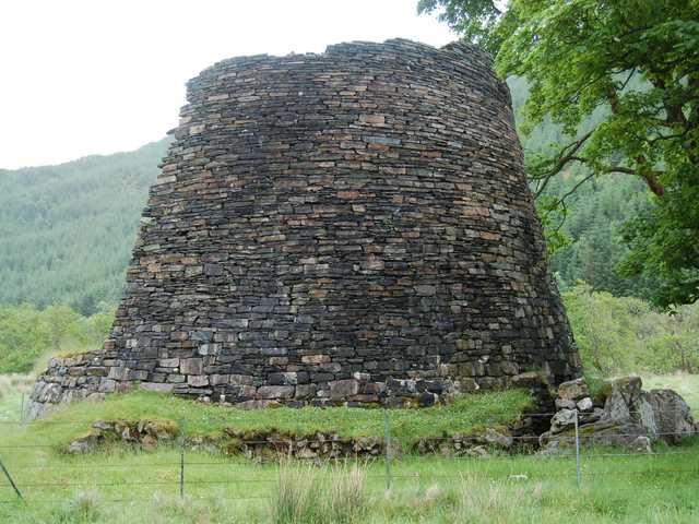
Dun Telve (Scottish Gaelic: Dùn Teilbh) is an iron-age broch located about four kilometres (2.5 mi) southeast of Kirkton, the main village of the community of Glenelg, Inverness-shire in the Highland Region of Scotland. It is one of the best preserved brochs in Scotland.
Dun Telve (grid reference NG82921726) stands on the north bank of the Abhainn a’ Ghlinne Bhig, in the lower reaches of Gleann Beag. It lies next to the minor road which leads south from Kirkton, the main village in Glenelg. The neighbouring broch of Dun Troddan lies 470 metres (1,540 ft) to the east, and the "semi-broch" known as Dun Grugaig is around 2.5 kilometres (1.6 mi) further east.
The brochs date from the Iron Age, approximately 2000 years ago.
It is thought that the broch was robbed for stone in 1722 (probably for the building of Bernera Barracks in Glenelg). Dun Telve was popular with tourists by the late 18th century, and was first sketched in the late 18th century. It was surveyed in detail in 1871–1873 by Henry Dryden. The building was brought into state care between 1882 and 1901 and the boundary markers that define the area of guardianship are still visible. Around 1914 a programme of works was undertaken by the Office of Works which included "clearing out" the interior, inserting concrete into the upper intramural space and pointing the internal wall-face. The broch has never been archaeologically excavated. The broch is now in the care of Historic Environment Scotland.
The broch consists of a drystone tower which measures 18.3 metres (60 ft) in diameter, and currently stands to a maximum height of 10.2 metres (33 ft) to the west and northwest. The external walls are 4.3 metres (14 ft) thick at the base and 1.2 metres (3 ft 11 in) thick at the top. The entrance is on the west but it has been modified, probably in the mid-19th century. On the south side of the entrance passage is a small side-chamber, sometimes called a "guard cell".
A doorway on the north side of the interior of the broch provides access first to an internal cell and then to the intramural space that narrows as it rises through to the top of the surviving wall. Access up the tower is by a winding stone stair, and openings at intervals once gave access to the upper floors.
Text adapted from “Dun Telve” on Wikipedia, CC BY-SA 4.0.
In the rankings
Dun Telve ranks #6,169 of 9,902 worldwide in the atlas's castle fame ranking, and #216 of the 252 mapped in Scotland. 6 more atlas landmarks stand within 25 km. The nearest day-trip guide is Inverness, 88 km away. It is one of the 84 landmarks on the atlas's regional map of the Scottish Highlands. See how Scotland compares in the castle statistics.
Castles nearby
- Eilean Donan Castle10 km · Scotland
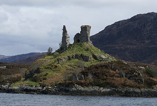
- Caisteal Maol11 km · Scotland
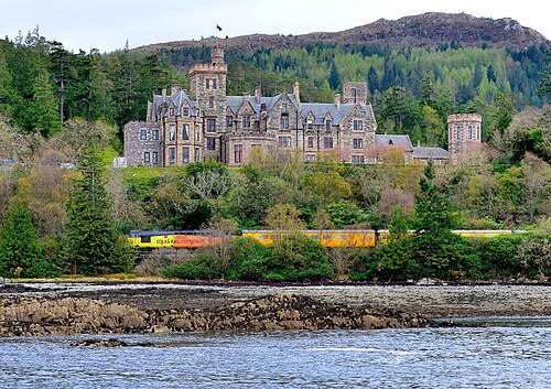
- Duncraig Castle16 km · Scotland
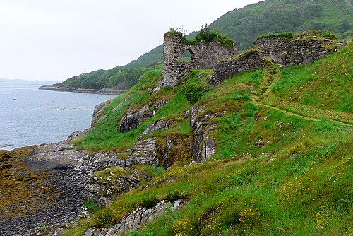
- Strome Castle18 km · Scotland

More castles in Scotland
- Amhuinnsuidhe CastleScotland · 19th century
- Aikwood TowerScotland · 16th century
- Aldourie CastleScotland · 17th century
- Ayton CastleScotland · 19th century