 Germany
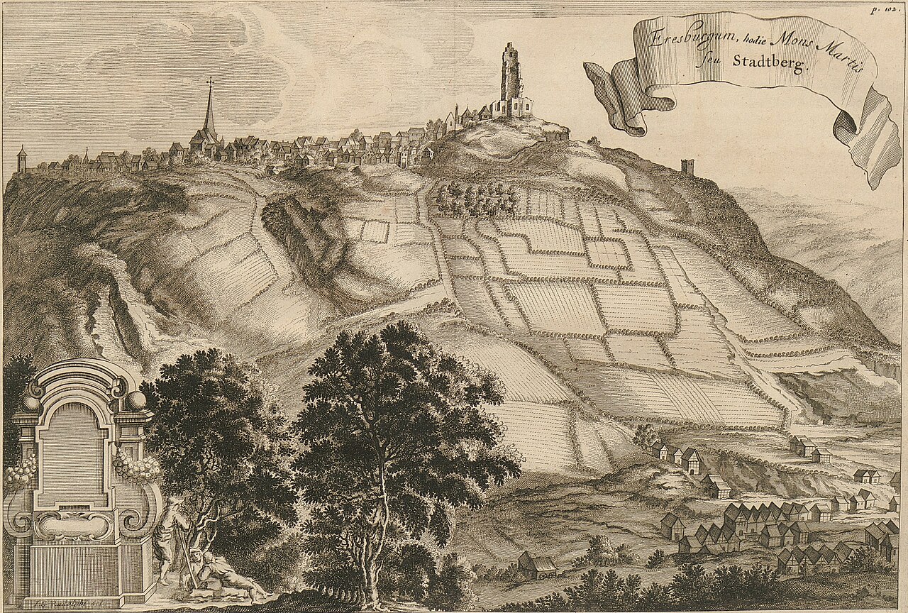
The Eresburg is the largest, well-known (Old) Saxon refuge castle (Volksburg) and was located in the area of the present German village of Obermarsberg in the borough of Marsberg in the county of Hochsauerlandkreis. It was a hill castle built on the plateau of a low table hill, known as the Eresberg, at a height of 130–150 metres above the Diemel, a tributary of the Weser, in the extreme south of the Saxon Gau of Engern on the border with the Duchy of Franconia.
Text adapted from “Eresburg” on Wikipedia, CC BY-SA 4.0.
Eresburg ranks #3,051 of 9,035 worldwide in the atlas's castle fame ranking, and #247 of the 709 mapped in Germany. Its Wikipedia articles were opened 2,601 times in the last 60 days, more than 75% of the atlas. 3 more atlas landmarks stand within 25 km. See how Germany compares in the castle statistics.
View on the interactive castle map →