Fortress
Festung Heldrungen
 Germany
- Heritage status
- Heritage monument in Thuringia
- Location
- Heldrungen
- Coordinates
- 51.2989°, 11.2189°
- Open data
- Wikidata Q1408892
- Links
- OpenStreetMap · Wikimedia Commons
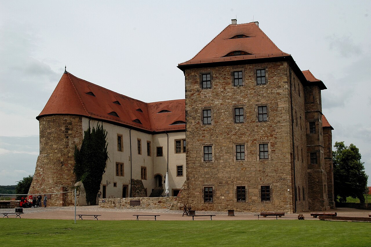
Description
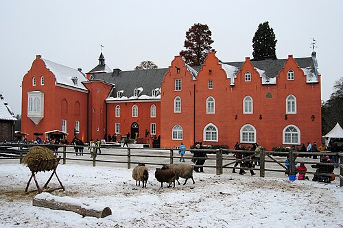
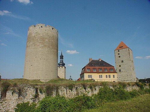
Festung Heldrungen is a fortress used until 1712, with two moats, four Vauban-style bastions and five roundels, and is located in Heldrungen in Thuringia, a district of An der Schmücke, on the southern edge of the Goldene Aue south-east of Bad Frankenhausen. The core of the fortress presents itself as a bastioned palace of 1519, while the surrounding ramparts and bastions date from 1668. The main gate of the fortress is in turn flanked by two mighty round towers.
Machine-translated from “Festung Heldrungen” on the German Wikipedia, CC BY-SA 4.0.
In the rankings
Festung Heldrungen ranks #6,960 of 9,902 worldwide in the atlas's castle fame ranking, and #743 of the 927 mapped in Germany. Its Wikipedia articles were opened 927 times in the last 60 days, more than 53% of the atlas. 2 more atlas landmarks stand within 25 km. See how Germany compares in the castle statistics.
Castles nearby
- Kyffhausen Castle15 km · Germany
- Runneburg15 km · Germany
- Sondershausen Palace26 km · Germany
- Burg Querfurt27 km · Germany
More castles in Germany
- Schloß BloemersheimGermany
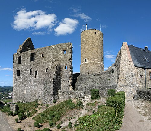
- Gleiberg CastleGermany
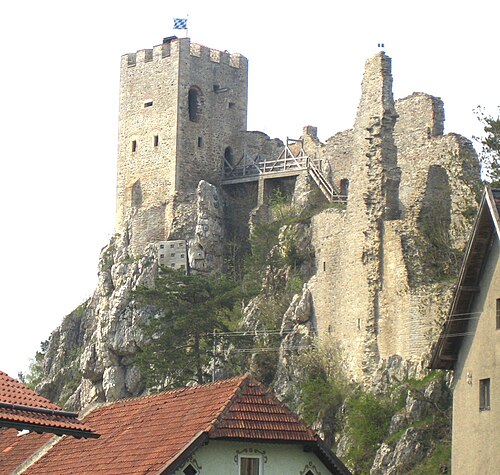
- Weißenstein CastleGermany · 11th century
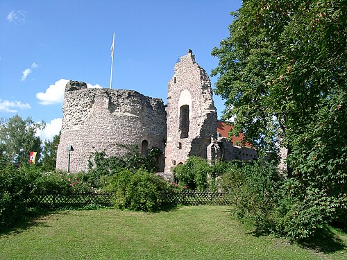
- Burg DreieichenhainGermany