 Ghana · 17th century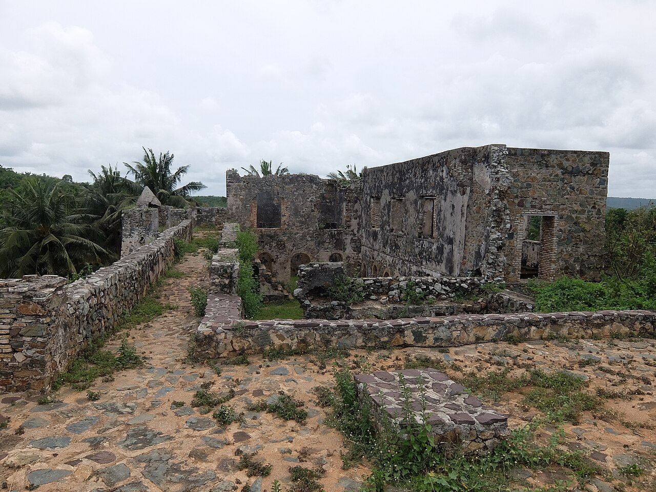
Fort Batenstein was a fort and trading post established by the Dutch on the Gold Coast in 1656. It was situated near Butre (old spelling: Boutry). The fort was ceded with the entire Dutch Gold Coast to Britain in 1872.
At this fort, the Treaty of Butre was signed on 27 August 1656 between the Dutch and the Ahanta.
In 1979, the fort was designated a World Heritage Site (along with several other castles and forts in Ghana) because of its historical importance in European trade and exploitation in West Africa.
Text adapted from “Fort Batenstein” on Wikipedia, CC BY-SA 4.0.
Fort Batenstein ranks #2,853 of 9,079 worldwide in the atlas's castle fame ranking, and #7 of the 35 mapped in Ghana. Founded 1656, it is older than 25% of the atlas's dated landmarks — one of 721 atlas entries founded in the 17th century. Its Wikipedia articles were opened 1,119 times in the last 60 days, more than 53% of the atlas. 4 more atlas landmarks stand within 25 km. The nearest day-trip guide is Sekondi-Takoradi, 20 km away. See how Ghana compares in the castle statistics.
View on the interactive castle map →