 India
India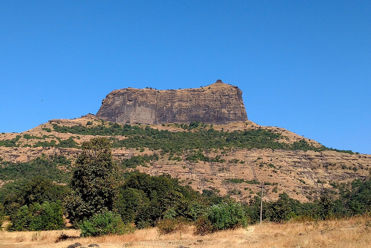
Harihar fort (also known as Harshagad) is a hillfort located about 40 kilometres (25 mi) from Nashik, 48 kilometres (30 mi) from Igatpuri, and 40 kilometres (25 mi) from Ghoti Budruk, in the Nashik district of Maharashtra, India. It receives a high number of visitors due to its peculiar rock-cut steps.
Harihar fort was built during the Seuna period. It was surrendered to Khan Zamam in 1636, along with Trymbakgad and other Pune forts. It was captured by John Briggs in 1818, together with 17 other forts.
Harihar fort includes a set of rock-cut water cisterns. There are rock-cut steps leading to a narrow entrance, which have become a tourist draw in recent years.
Text adapted from “Harihar fort” on Wikipedia, CC BY-SA 4.0.
Harihar Fort ranks #1,173 of 9,079 worldwide in the atlas's castle fame ranking, and #45 of the 224 mapped in India. Its Wikipedia articles were opened 11,827 times in the last 60 days, more than 95% of the atlas. The nearest day-trip guide is Vasai-Virar, 85 km away. See how India compares in the castle statistics.
View on the interactive castle map →