Fortress
Fort Bridger
🇺🇸 United States · 19th century
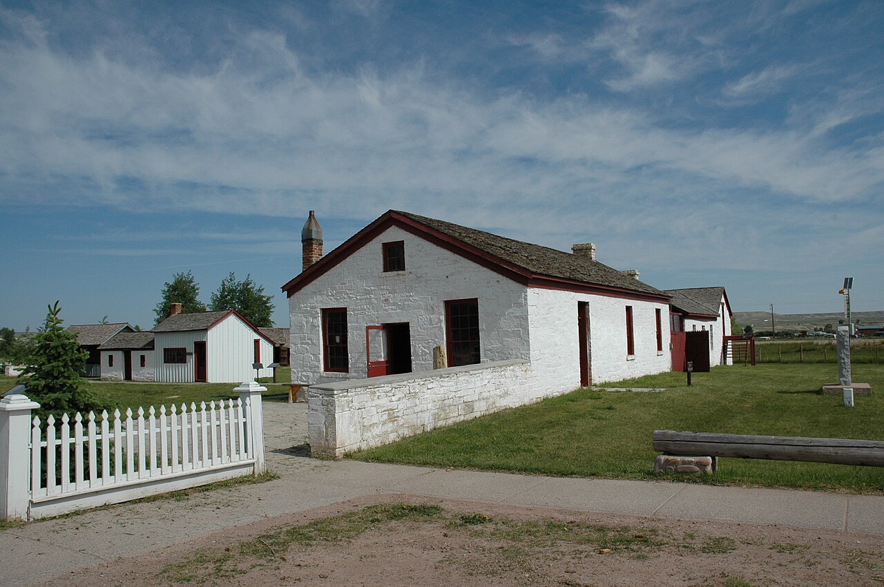
Fort Bridger was originally a 19th-century fur trading outpost established in 1842, on Blacks Fork of the Green River, in what is now Uinta County, Wyoming, United States and was then part of Mexico. It became a vital resupply point for wagon trains on the Oregon, California, and Mormon Trails. The US Army established a military post here in 1858 during the Utah War, until it was finally closed in 1890. A small town, Fort Bridger, Wyoming, remains near the fort and takes its name from it.
Text adapted from “Fort Bridger” on Wikipedia, CC BY-SA 4.0.
Fort Bridger ranks #2,386 of 8,134 worldwide in the atlas's castle fame ranking, and #47 of the 103 mapped in United States. Founded 1842, it is older than 10% of the atlas's dated landmarks — one of 607 atlas entries founded in the 19th century. Its Wikipedia articles were opened 7,939 times in the last 60 days, more than 91% of the atlas. See how United States compares in the castle statistics.
View on the interactive castle map →Frequently asked questions
Where is Fort Bridger?
Fort Bridger stands in the United States, at 41.31778°, -110.39194°.
When was Fort Bridger built?
The atlas dates its founding to 1842. Earlier structures may have stood on the site; this is the earliest documented founding year.
How famous is Fort Bridger?
In this atlas's fame ranking: #2,386 of 8,134 worldwide, and #47 in the United States. Fame here combines how many Wikipedia language editions cover a landmark with how many people read them.
What is the nearest castle to Fort Bridger?
Fort Washakie, about 225 km away.
More castles in the United States
- Fort Kearny United States · 19th century
- Fort Reno United States · 19th century
- Fort Saint-Frédéric United States · 18th century
- Los Adaes United States · 18th century
More fortresses
- Fort Amsterdam (Sint Maarten) Sint Maarten · 17th century
- Fort Rouillé Canada · 18th century
- Riffort Curaçao · 19th century
- Buxa Fort India · 19th century