 United States · 18th century
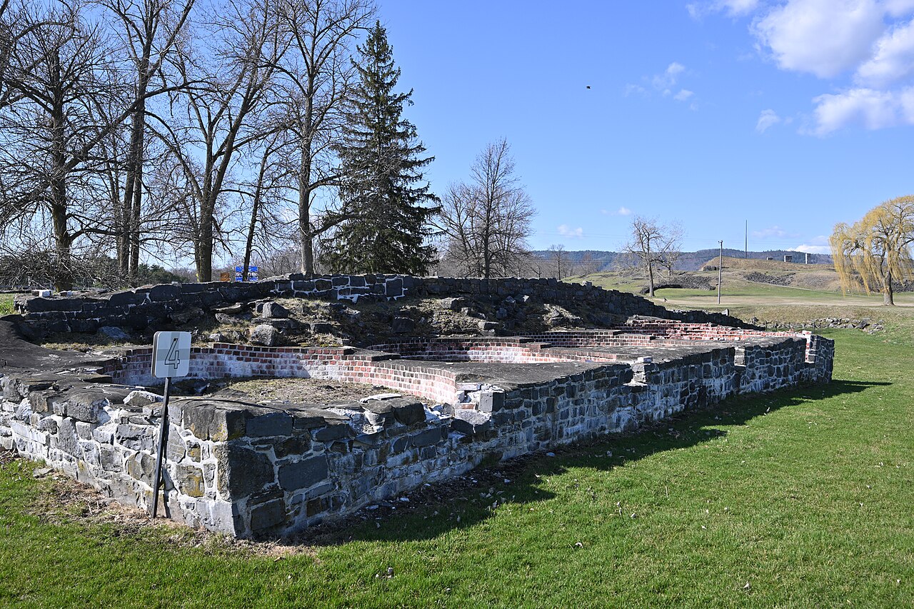
Fort Saint-Frédéric ranks #3,769 of 9,040 worldwide in the atlas's castle fame ranking, and #72 of the 110 mapped in United States. Founded 1734, it is older than 18% of the atlas's dated landmarks, one of 685 atlas entries founded in the 18th century. Its Wikipedia articles were opened 1,346 times in the last 60 days, more than 59% of the atlas. 2 more atlas landmarks stand within 25 km. See how United States compares in the castle statistics.
Fort Saint-Frédéric was a French fort built on Lake Champlain to secure the region against British colonization and control the lake. It was located in modern New York State across the lake from modern Vermont at the town of Crown Point, New York. The fort, whose construction began in 1734, was never attacked, and was destroyed in 1759 before the advance of a large (more than 10,000 man) British army under General Jeffery Amherst.
The British constructed the much larger Fort Crown Point next to the ruins of Saint-Frédéric; the new fort also never came under attack. Its small garrison was captured in 1775 in the early days of the American Revolutionary War, after which Fort Crown Point also fell into ruin. The fort sites at Crown Point were preserved in the Crown Point State Historic Site in 1910, and both ruins are National Historic Landmarks.
Text adapted from “Fort Saint-Frédéric” on Wikipedia, CC BY-SA 4.0.
View on the interactive castle map →