 Belgium · 19th century
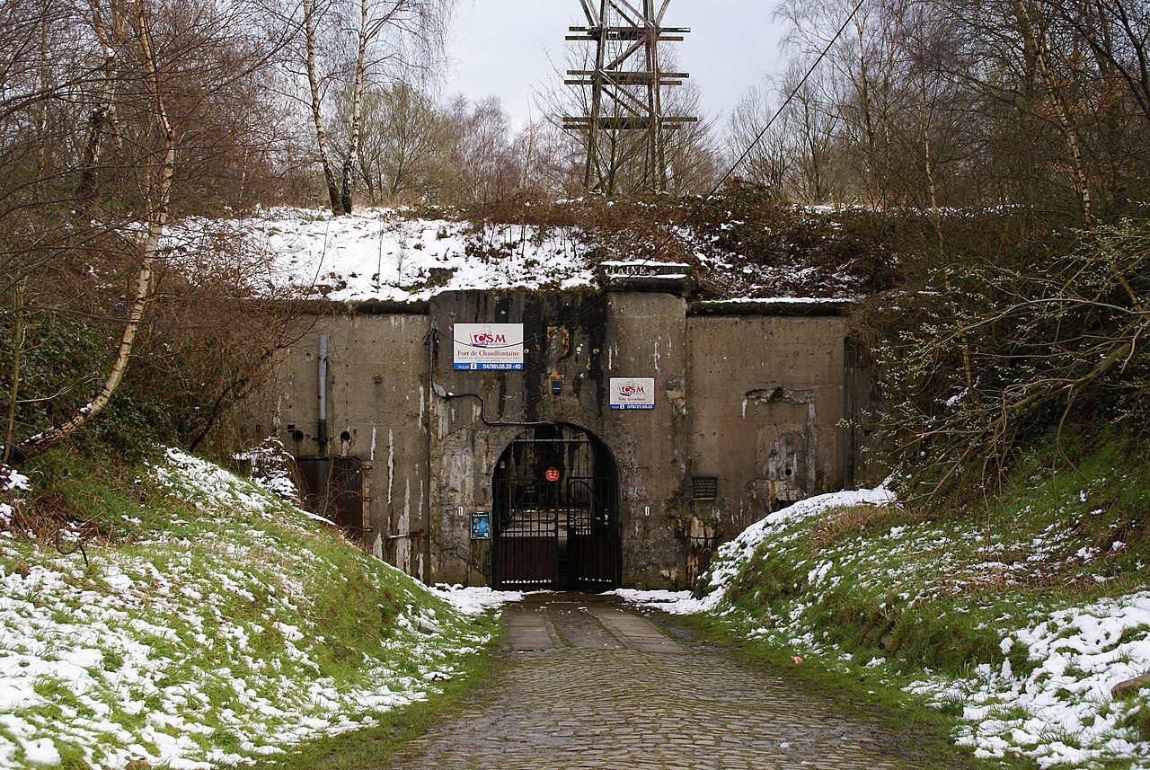
Fort de Chaudfontaine ranks #5,364 of 9,040 worldwide in the atlas's castle fame ranking, and #75 of the 128 mapped in Belgium. Founded 1881, one of 705 atlas entries founded in the 19th century. 24 more atlas landmarks stand within 25 km. The nearest day-trip guide is Liège, 7 km away. See how Belgium compares in the castle statistics.
The Fort de Chaudfontaine (French pronunciation: [fɔʁ də ʃofɔ̃tɛn]) is one of twelve forts built around Liège, Belgium, in the late 19th century. The overall Fortified Position of Liège was a constituent part of the country's National Redoubt. Fort de Chaudfontaine was built between 1881 and 1884 according to the plans of General Henri Alexis Brialmont. Contrasting with the French forts built in the same era by Raymond Adolphe Séré de Rivières, the fort was built exclusively of unreinforced concrete, a new material, rather than masonry. The fort was heavily bombarded by German artillery in the Battle of Liège. The fort is now used as an adventure park.
Text adapted from “Fort de Chaudfontaine” on Wikipedia, CC BY-SA 4.0.
View on the interactive castle map →