Fortress
Sutter's Fort
🇺🇸 United States · 19th century
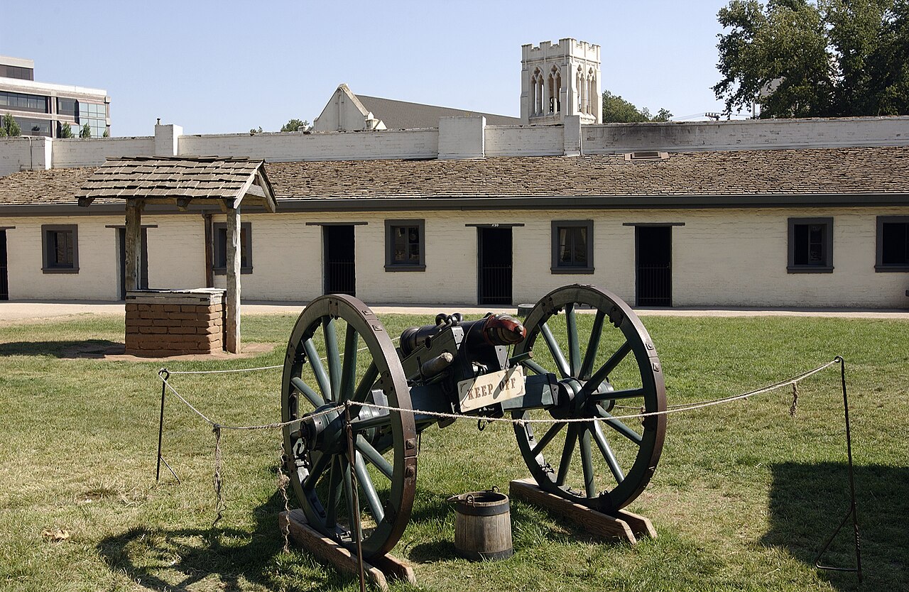
Sutter's Fort was a 19th-century agricultural and trade colony in the Mexican Alta California province. Established in 1839, the site of the fort was originally part of a utopian colonial project called New Helvetia (New Switzerland) by its builder John Sutter, though construction of the fort proper would not begin until 1841. The fort was the first non-Indigenous community in the California Central Valley, and saw grave mistreatment of Indigenous laborers in plantation or feudal style conditions. The fort is famous for its association with the Donner Party, the California gold rush, and the formation of the city of Sacramento, surrounding the fort. It is notable for its proximity to the end of the California and Siskiyou Trails, which it served as a waystation.
In modern times, the adobe structure has been restored to its original condition (38.5723°N 121.4712°W / 38.5723; -121.4712) and is now administered by California Department of Parks and Recreation. It was designated a National Historic Landmark in 1961.
Text adapted from “Sutter's Fort” on Wikipedia, CC BY-SA 4.0.
Sutter's Fort ranks #2,564 of 8,134 worldwide in the atlas's castle fame ranking, and #50 of the 103 mapped in United States. Founded 1839, it is older than 10% of the atlas's dated landmarks — one of 607 atlas entries founded in the 19th century. Its Wikipedia articles were opened 5,575 times in the last 60 days, more than 86% of the atlas. See how United States compares in the castle statistics.
View on the interactive castle map →Frequently asked questions
Where is Sutter's Fort?
Sutter's Fort stands in the United States, at 38.57222°, -121.47°.
When was Sutter's Fort built?
The atlas dates its founding to 1839. Earlier structures may have stood on the site; this is the earliest documented founding year.
How famous is Sutter's Fort?
In this atlas's fame ranking: #2,564 of 8,134 worldwide, and #50 in the United States. Fame here combines how many Wikipedia language editions cover a landmark with how many people read them.
What is the nearest castle to Sutter's Fort?
Fort Mason, about 119 km away.
More castles in the United States
- Fort Bridger United States · 19th century
- Fort Kearny United States · 19th century
- Fort Reno United States · 19th century
- Fort Saint-Frédéric United States · 18th century
More fortresses
- Fort de Chaudfontaine Belgium · 19th century
- Fort d'Évegnée Belgium · 19th century
- Fort de Flémalle Belgium · 19th century
- Naldurg Fort India