 Australia · 19th century
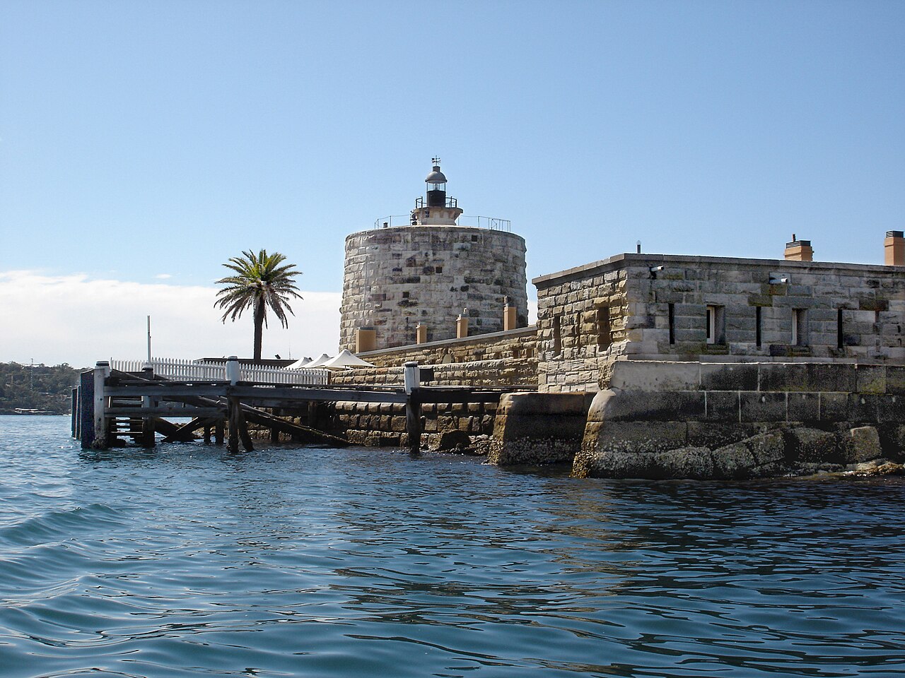
Fort Denison, part of the Sydney Harbour National Park, is a heritage-listed former penal site and defensive facility occupying a small island located north-east of the Royal Botanic Garden and approximately 1 kilometre (0.62 mi) east of the Opera House in Sydney Harbour, New South Wales, Australia. The island may have been known as Mattewanye or Muddawahnyuh in the Eora language , and as Pinchgut Island.
The site contains time gun, navigational aids and tide gauge facilities. Correctional and military facilities were designed by George Barney and built from 1840 to 1862 by William Randle. The property is owned by the Office of Environment & Heritage. It was added to the New South Wales State Heritage Register on 2 April 1999. In 1978 the former fortress was listed on the (now defunct) Register of the National Estate, and is currently used as a national park, nature reserve, tourist facility, and as a function space.
Text adapted from “Fort Denison” on Wikipedia, CC BY-SA 4.0.
Fort Denison ranks #2,243 of 9,035 worldwide in the atlas's castle fame ranking, and #1 of the 14 mapped in Australia. Founded 1840, it is older than 9% of the atlas's dated landmarks, one of 705 atlas entries founded in the 19th century. Its Wikipedia articles were opened 2,961 times in the last 60 days, more than 78% of the atlas. 5 more atlas landmarks stand within 25 km. See how Australia compares in the castle statistics.
View on the interactive castle map →