Fortress
Fort Jesup
🇺🇸 United States · 19th century
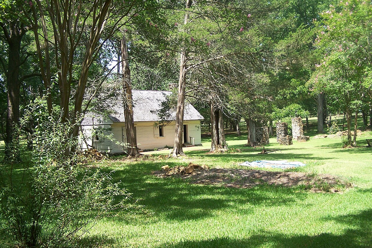
Fort Jesup, also known as Fort Jesup State Historic Site or Fort Jesup or Fort Jesup State Monument, was built in 1822, 22 miles (35 km) west of Natchitoches, Louisiana, to protect the United States border with New Spain and to return order to the Neutral Strip. Originally named Cantonment Jesup, the fort operated from 1822 until 1846. After the abandonment of the fort in 1846, the United States federal government continued to own the abandoned fort site until the privatization of the site in 1869.
Text adapted from “Fort Jesup” on Wikipedia, CC BY-SA 4.0.
Fort Jesup ranks #5,011 of 8,134 worldwide in the atlas's castle fame ranking, and #92 of the 103 mapped in United States. Founded 1822, it is older than 11% of the atlas's dated landmarks — one of 607 atlas entries founded in the 19th century. 1 more atlas landmarks stand within 25 km. See how United States compares in the castle statistics.
View on the interactive castle map →Frequently asked questions
Where is Fort Jesup?
Fort Jesup stands in the United States, at 31.61139°, -93.40083°.
When was Fort Jesup built?
The atlas dates its founding to 1822. Earlier structures may have stood on the site; this is the earliest documented founding year.
How famous is Fort Jesup?
In this atlas's fame ranking: #5,011 of 8,134 worldwide, and #92 in the United States. Fame here combines how many Wikipedia language editions cover a landmark with how many people read them.
What is the nearest castle to Fort Jesup?
Los Adaes, about 15 km away.
More castles in the United States
- Fort Pickens United States · 19th century
- Fort Armstrong United States · 19th century
- Castle Pinckney United States · 18th century
- Fort Washakie United States · 19th century
More fortresses
- Vijaydurg Fort India
- Baghsar Fort Pakistan
- Gulustan Fortress Azerbaijan
- Parigala Azerbaijan