 Belgium · 16th century
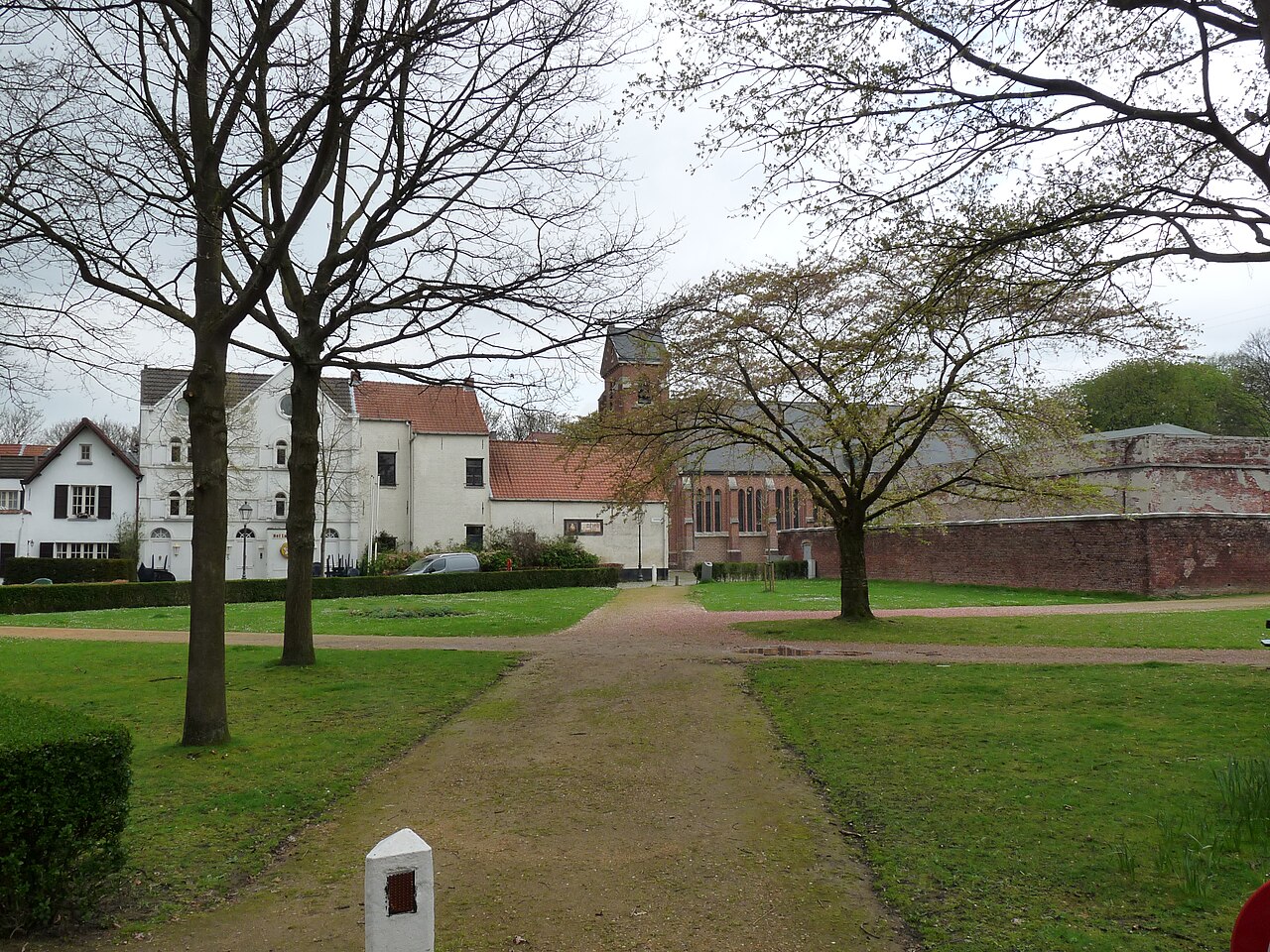
Fort Lillo ranks #4,622 of 9,040 worldwide in the atlas's castle fame ranking, and #64 of the 128 mapped in Belgium. Founded 1573, it is older than 34% of the atlas's dated landmarks, one of 887 atlas entries founded in the 16th century. Its Wikipedia articles were opened 1,103 times in the last 60 days, more than 53% of the atlas. 10 more atlas landmarks stand within 25 km. The nearest day-trip guide is Antwerp, 12 km away. See how Belgium compares in the castle statistics.
Fort Lillo is a former military fort built as part of the Antwerp Defence Line on the right bank of the Schelde, and completely surrounded by the industrial port of Antwerp.
Built between 1579–82 on the orders of William the Silent to defend Antwerp, in 1809 during the Napoleonic Wars the fort was attacked by the British while under occupation by the forces of Napoleon. Along with Fort Liefkenshoek on the opposite bank of the Scheldt, these heavily armed defences proved a formidable obstacle to attacking forces.
Of the three towns that formerly comprised the village of Lillo, Fort Lillo is the only one to survive, the other two - Oud Lillo (lit. "Old Lillo") and Lillo-Kruisweg (lit. "Lillo Crossroads") were evacuated in 1958 then demolished and razed to allow the expansion of the port of Antwerp. Fort Lillo shared the fate of three other polder villages: Wilmarsdonk, Oosterweel, and Oorderen. Fort Lillo has been preserved and is today part of the "ethonological polder" historical ground north of Antwerp.
Text adapted from “Fort Lillo” on Wikipedia, CC BY-SA 4.0.
View on the interactive castle map →