 United States · 19th century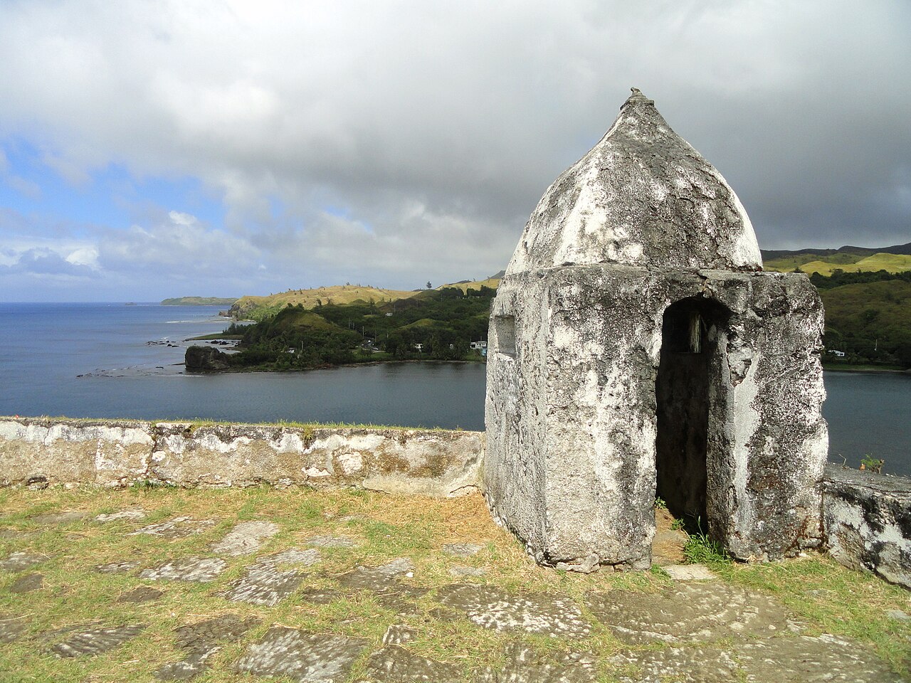
Fort Nuestra Señora de la Soledad (Spanish: Fuerte de Nuestra Señora de la Soledad) is a fortification near Umatac, Guam. Built by the Spanish probably between 1802 and 1819, it was the fourth of four fortifications that protected an anchorage for galleons transiting between Acapulco, Mexico and the Philippines, a route that fell out of use in 1815 with Mexican independence.
The fort has been damaged by treasure-hunters; it was made into a park following World War II. It was listed on the National Register of Historic Places in 1974.
Text adapted from “Fort Nuestra Señora de la Soledad” on Wikipedia, CC BY-SA 4.0.
Fort Nuestra Señora de la Soledad ranks #7,530 of 9,079 worldwide in the atlas's castle fame ranking, and #107 of the 110 mapped in United States. Founded c. 1802, it is older than 12% of the atlas's dated landmarks — one of 717 atlas entries founded in the 19th century. See how United States compares in the castle statistics.
View on the interactive castle map →