 United States · 20th century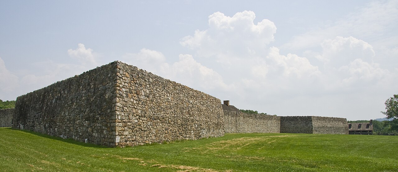
Fort Frederick State Park is a Maryland state park on the Potomac River surrounding the restored Fort Frederick, a fortification active in the French and Indian War (1754–1763) and the American Revolutionary War (1775-1783). The park lies south of the town of Big Pool, Maryland. The Chesapeake and Ohio Canal runs through the park grounds. The site was designated a National Historic Landmark in 1973.
Text adapted from “Fort Frederick State Park” on Wikipedia, CC BY-SA 4.0.
Fort Frederick ranks #6,554 of 9,079 worldwide in the atlas's castle fame ranking, and #102 of the 110 mapped in United States. Founded 1922 — one of 169 atlas entries founded in the 20th century. See how United States compares in the castle statistics.
View on the interactive castle map →