Fortress
Fort of Exilles
 Italy · 14th century
- Founded
- 1339
- Heritage status
- Italian national heritage
- Location
- Exilles
- Coordinates
- 45.09963°, 6.93642°
- Open data
- Wikidata Q2408412
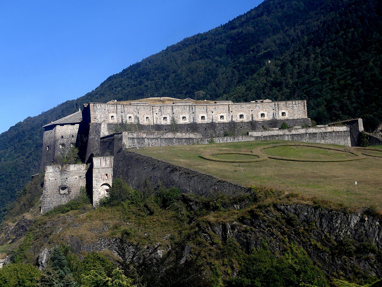
Description
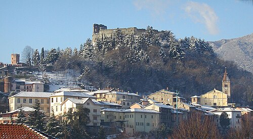
The Exilles Fort (Italian: Forte di Exilles [ˈfɔrte di eˈksil, - eˈɡzil]; French: Fort d'Exilles [fɔʁ dɛɡzil]) is a fortified complex in the Susa Valley, Metropolitan City of Turin, Piedmont, Northern Italy. Together with the nearby Fort of Fenestrelle and the Forte Albertino (at Vinadio, in the province of Cuneo) it was part of the defensive line between the House of Savoy lands (later of the Kingdom of Italy) and France: both these states held it in different phases depending on the outcome of the various wars. It is located on a spur commanding one of the narrowest sections of the Susa Valley, along the main road connecting Turin to France.
Text adapted from “Fort of Exilles” on Wikipedia, CC BY-SA 4.0.
In the rankings
Fort of Exilles ranks #3,886 of 9,040 worldwide in the atlas's castle fame ranking, and #294 of the 555 mapped in Italy. Founded 1339, it is older than 58% of the atlas's dated landmarks, one of 758 atlas entries founded in the 14th century. Its Wikipedia articles were opened 4,073 times in the last 60 days, more than 83% of the atlas. 1 more atlas landmarks stand within 25 km. The nearest day-trip guide is Turin, 58 km away. See how Italy compares in the castle statistics.
Castles nearby
- Fenestrelle Fort12 km · Italy
- Fort des Têtes
 32 km · France
- Fort du Randouillet32 km · France
- Avigliana Castle36 km · Italy
More castles in Italy
- Forte AlbertinoItaly · 19th century
- Forte FilippoItaly
- Forte SperoneItaly
- Forte del Santissimo SalvatoreItaly · 16th century