 Canada · 17th century
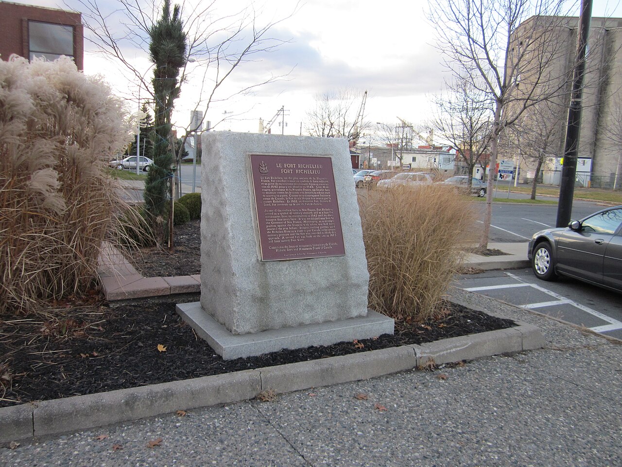
Fort Richelieu ranks #6,137 of 9,040 worldwide in the atlas's castle fame ranking, and #25 of the 26 mapped in Canada. Founded 1641, it is older than 27% of the atlas's dated landmarks, one of 710 atlas entries founded in the 17th century. See how Canada compares in the castle statistics.
Fort Richelieu is a historic fort in La Vallée-du-Richelieu Regional County Municipality, Quebec, Canada. The fort is designated as a National Historic Site of Canada. Fort Richelieu was part of a series of five forts built along the Richelieu River and is at the mouth of the Richelieu River. Fort Chambly formerly known as Fort St. Louis at Chambly, Fort Sainte-Thérèse, and Fort Saint-Jean at Saint-Jean-sur-Richelieu, are on the way. Fort Sainte Anne (Vermont) on Isle La Motte, Vermont in Lake Champlain is near its source. The forts were built in order to protect travellers on the river from the Iroquois. The region is informally known as la Vallée-des-Forts.
Text adapted from “Fort Richelieu” on Wikipedia, CC BY-SA 4.0.
View on the interactive castle map →