 Ghana · 17th century
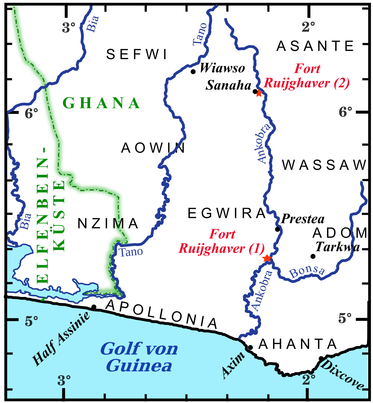
Fort Ruychaver ranks #7,933 of 9,040 worldwide in the atlas's castle fame ranking, and #30 of the 35 mapped in Ghana. Founded 1654, it is older than 25% of the atlas's dated landmarks, one of 710 atlas entries founded in the 17th century. 2 more atlas landmarks stand within 25 km. The nearest day-trip guide is Sekondi-Takoradi, 50 km away. See how Ghana compares in the castle statistics.
Fort Ruychaver, also Fort Ruijghaver, was a Dutch trading post in the hinterland of the Gold Coast, in contemporary Ghana. It existed between 1654 and 1660 on the banks of River Ankobra. The name of the post goes back to Jacob Ruijghaver, the director of the Dutch West India Company's possessions on the Gold Coast, who ordered its establishment.
The aim of the trading post was to enhance the trade in gold, as the area surrounding the fort was locally renowned for its gold mines. The classification of the trading post as a fort is a product of modern literature. The trading post was probably not as reinforced as the term "fort" implies, and likely consisted of a simple lodge and a few smaller huts.
Text adapted from “Fort Ruychaver” on Wikipedia, CC BY-SA 4.0.
View on the interactive castle map →