Ruin
Fort De Veer
🇬🇭 Ghana
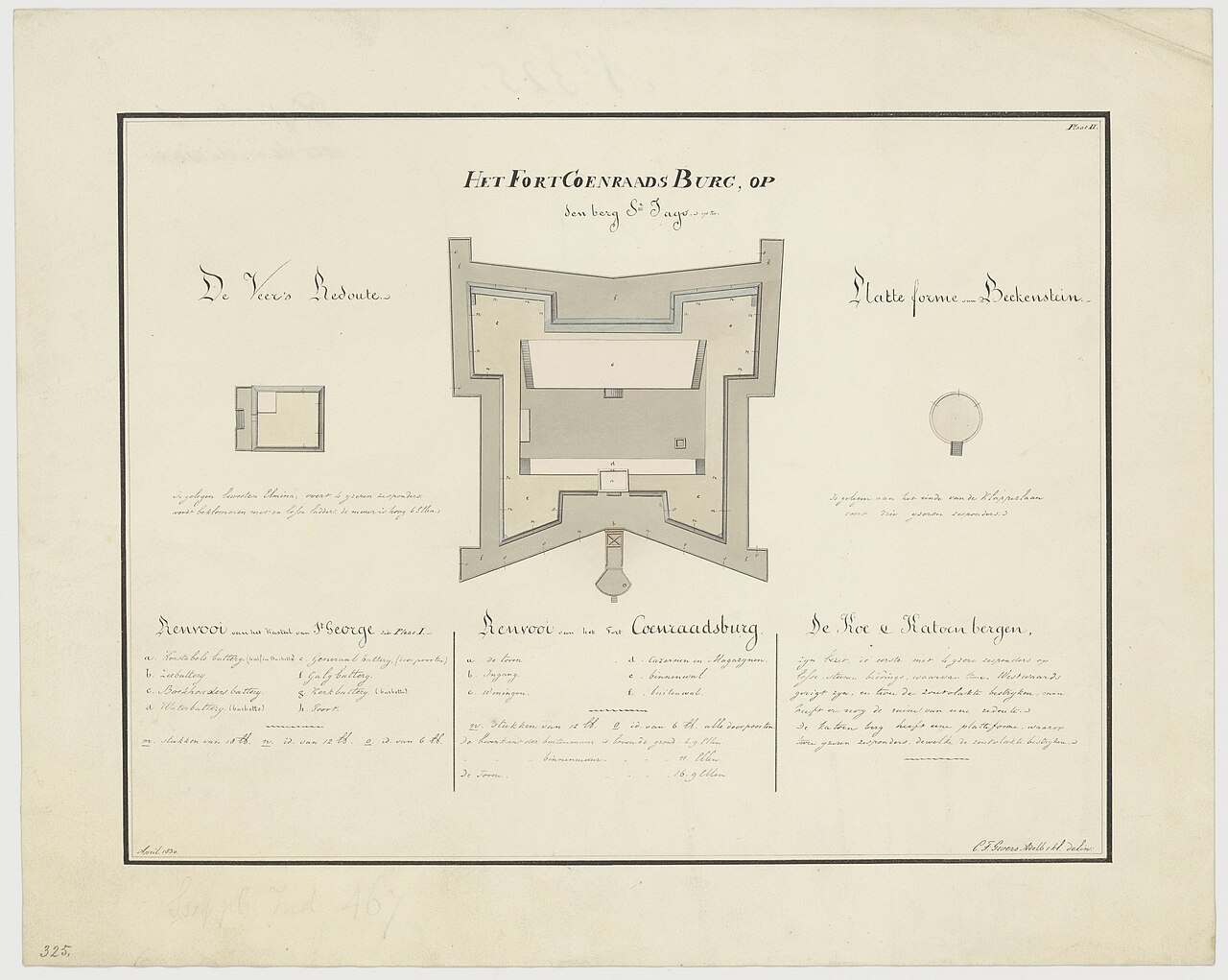
Fort De Veer – or, in the Dutch original, Veersche Schans – was a fortification which the Dutch built in Elmina, Ghana, between 1817 and 1829, about 800 metres west of Fort São Jorge da Mina, at a narrow, elevated point of the Elmina peninsula in the present-day town quarter of Bantoma. The fortification was named after Jakobus de Veer, the then Dutch director-general of Elmina. Today only traces of the works survive; six corroded cannons and some iron parts of gun mountings are preserved.
The Veersche Schans replaced the earlier fortification Waakzamheid ("Vigilance"), which was to protect Elmina from attacks from this side. The Veersche Schans was, as the Dutch name says, a square stone earthwork reached by ladders, with gun openings for muskets and artillery.
Machine-translated from “Fort de Veer” on the German Wikipedia, CC BY-SA 4.0.
Fort De Veer ranks #8,128 of 8,134 worldwide in the atlas's castle fame ranking, and #34 of the 34 mapped in Ghana. 8 more atlas landmarks stand within 25 km. The nearest day-trip guide is Cape Coast, 12 km away. See how Ghana compares in the castle statistics.
View on the interactive castle map →Frequently asked questions
Where is Fort De Veer?
Fort De Veer stands in Ghana, at 5.08078°, -1.35607°.
How famous is Fort De Veer?
In this atlas's fame ranking: #8,128 of 8,134 worldwide, and #34 in Ghana. Fame here combines how many Wikipedia language editions cover a landmark with how many people read them.
What is the nearest castle to Fort De Veer?
Fort Coenraadsburg, about 1 km away.
More castles in Ghana
- Fort Kumasi Ghana · 19th century
- Osu Castle Ghana · 17th century
- Cape Coast Castle Ghana · 17th century
- Fort Prinzenstein Ghana · 18th century
More ruins
- Fort of the Emperor Algeria · 16th century
- Cerovo Castle Slovakia
- Kuchyňa Castle Slovakia
- Ruinele cetății Șinteu Romania