 Canada · 18th century
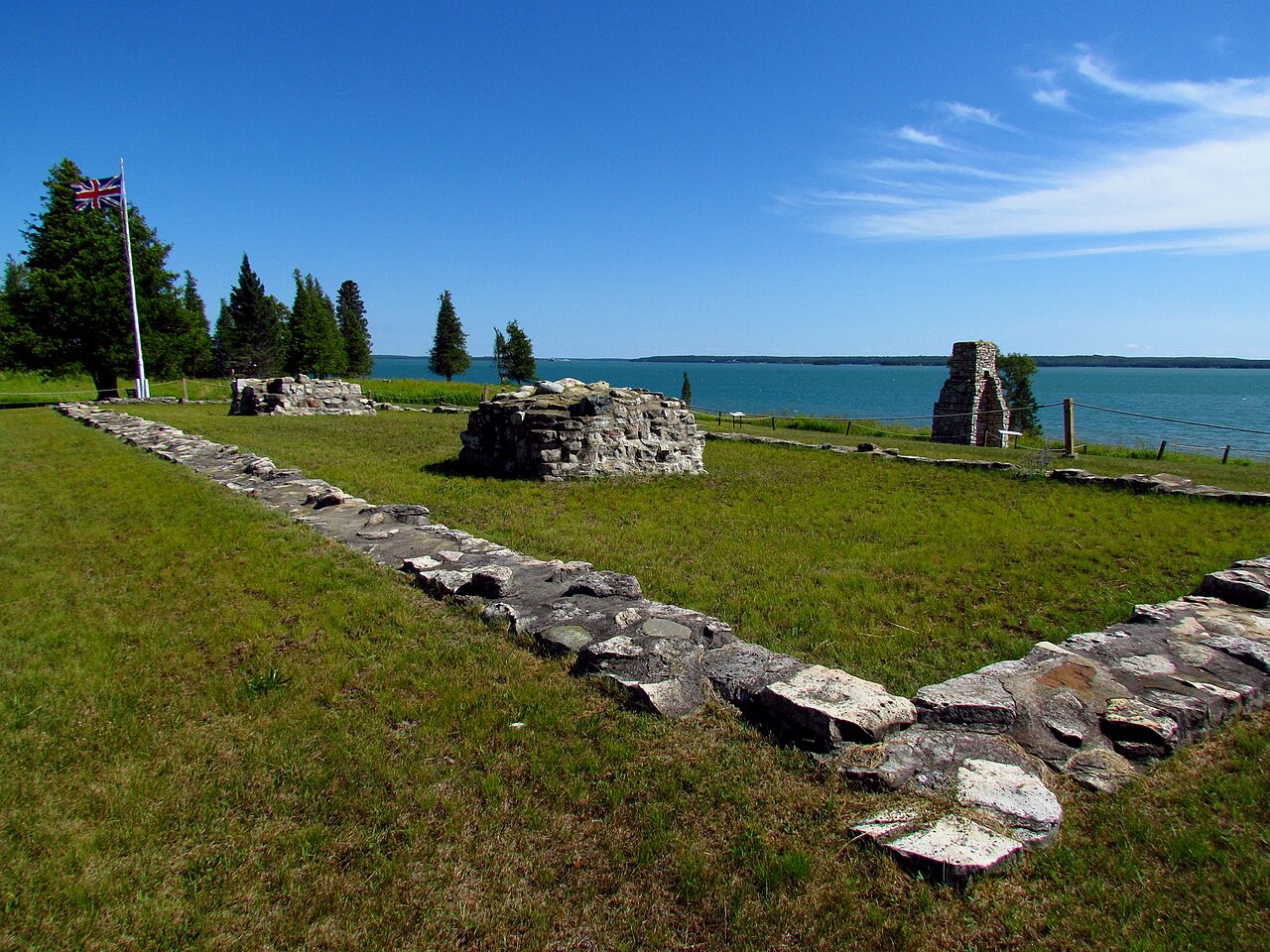
Fort St. Joseph (Ontario) ranks #5,697 of 9,040 worldwide in the atlas's castle fame ranking, and #23 of the 26 mapped in Canada. Founded 1799, it is older than 12% of the atlas's dated landmarks, one of 685 atlas entries founded in the 18th century. See how Canada compares in the castle statistics.
Fort St. Joseph is a former British outpost on the southernmost point of St. Joseph Island in Ontario, Canada, on Lake Huron. The fort consisted of a blockhouse, powder magazine, bakery building, Indian council house and storehouse surrounded by a palisade.
Situated on approximately 325 hectares along the St. Marys River, Fort St. Joseph was the staging ground for the initial attack in the War of 1812. The fort was an important regional military outpost and a significant meeting place for trade and commerce in the region. During its short but significant occupation, it was the most westerly British outpost in North America. Today, Fort St. Joseph is operated by Parks Canada and is designated a National Historic Site of Canada.
Text adapted from “Fort St. Joseph (Ontario)” on Wikipedia, CC BY-SA 4.0.
View on the interactive castle map →