 Netherlands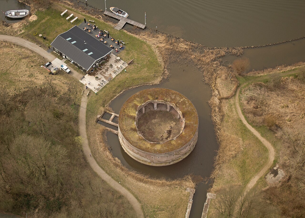
Fort Uitermeer is an old fort that is included in the New Dutch Waterline and later the Defence Line of Amsterdam. It is located in the North Holland municipality of Weesp on the east bank of the Vecht, south-east of Weesp near the hamlet of Uitermeer. To the south-west lies the Fort bij Hinderdam and to the north-west the fortress of Weesp.
The purpose of the fort was to protect the land passages between the Naardermeer and the Vecht. The two most important passages were the Amsterdam – Amersfoort railway line and the road from Hilversum to Weesp (along the present-day N236). It could also support the neighbouring forts with its artillery. It also protected the sluice with which the land could be inundated.
Machine-translated from “Fort bij Uitermeer” on the Dutch Wikipedia, CC BY-SA 4.0.
Fort Uitermeer ranks #7,960 of 9,079 worldwide in the atlas's castle fame ranking, and #146 of the 199 mapped in Netherlands. 19 more atlas landmarks stand within 25 km. The nearest day-trip guide is Amsterdam, 16 km away. See how Netherlands compares in the castle statistics.
View on the interactive castle map →