Castle
Fortar Castle
 Scotland · 16th century
- Founded
- 1560
- Heritage status
- category B listed building
- Location
- Angus
- Coordinates
- 56.7662°, -3.33915°
- Open data
- Wikidata Q17776653
- Links
- Wikimedia Commons
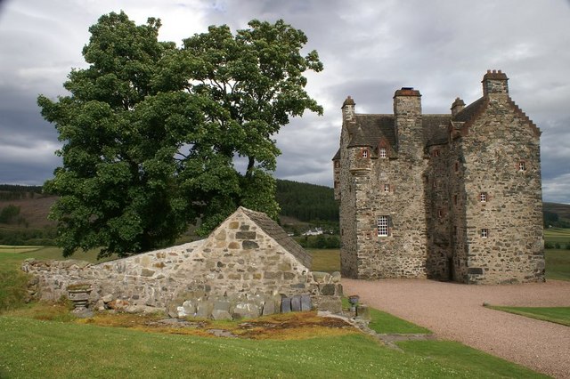
Description
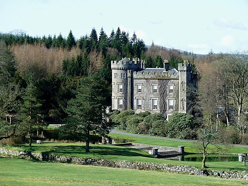
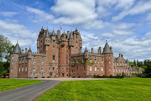
Forter Castle is located in Glenisla, Perthshire, Scotland. It was built in 1560 by James Ogilvy, the 5th Lord of Airlie. In 1640, it was burned by Archibald Campbell, the 8th Earl of Argyll, but it was rebuilt in the early 1990s.
The grid reference is NO18239 64640 and the latitude/longitude is 56.766148, −3.339154.
The castle is located within Angus council area and inside Cairngorms National Park. It is a Category B historically listed building by Historic Environment Scotland; when listed, it was still a ruin. The listing states that the castle was "perpetuated in ballad, "Bonnie House of Airlie".
Text adapted from “Forter Castle” on Wikipedia, CC BY-SA 4.0.
In the rankings
Fortar Castle ranks #6,981 of 9,902 worldwide in the atlas's castle fame ranking, and #227 of the 252 mapped in Scotland. Founded 1560, it is older than 36% of the atlas's dated landmarks, one of 933 atlas entries founded in the 16th century. Its Wikipedia articles were opened 917 times in the last 60 days, more than 52% of the atlas. 2 more atlas landmarks stand within 25 km. The nearest day-trip guide is Dundee, 41 km away. It is one of the 84 landmarks on the atlas's regional map of the Scottish Highlands. See how Scotland compares in the castle statistics.
Castles nearby
- Newton Castle19 km · Scotland
- Cortachy Castle22 km · Scotland
- Castra Pinnata26 km · Scotland
- Glamis Castle26 km · Scotland
More castles in Scotland
- Cloncaird CastleScotland · 16th century
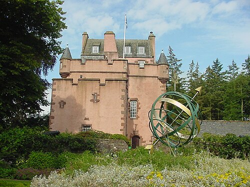
- Towie Barclay CastleScotland · 16th century
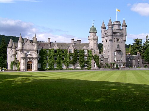
- Balmoral CastleScotland · 14th century
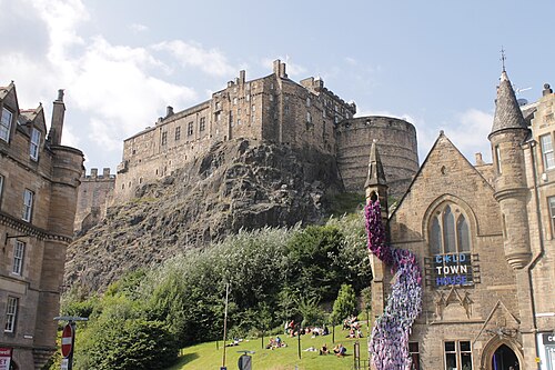
- Edinburgh CastleScotland · 12th century