Palace
Imperial Palace Ingelheim
 Germany · 8th century
- Founded
- c. 775
- Heritage status
- cultural heritage monument in Rhineland-Palatinate
- Location
- Ingelheim am Rhein
- Coordinates
- 49.9775°, 8.0715°
- Open data
- Wikidata Q1662969
- Links
- OpenStreetMap · Wikimedia Commons
Description
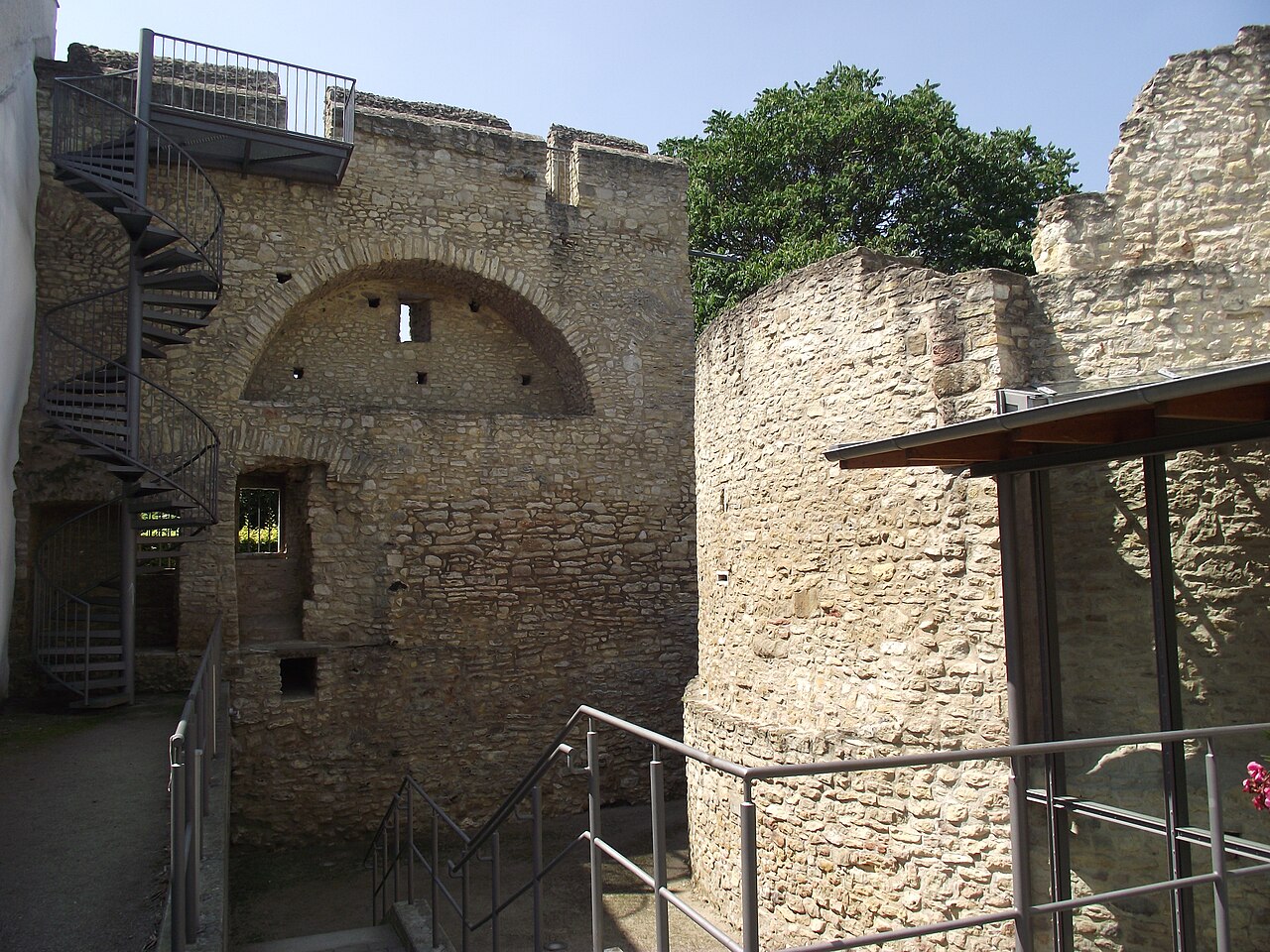
The Ingelheim Imperial Palace (German: Ingelheimer Kaiserpfalz) was an important imperial palace erected in the second half of the 8th century in Germany. It served kings of Francia and later Holy Roman Emperors and Kings as a residenz and place for governance until the 11th century.
The former palace complex is located in the cadastral area of Nieder-Ingelheim, 15 km west of Mainz, in district "Im Saal". It is located at a slope with a view of the Rhine plains. Impressive remains of the buildings of the palace have been preserved above ground to this day. The greater part of the complex is located foundation under ground and archaeological excavations have been able to reconstruct the entire system of buildings.
Text adapted from “Ingelheim Imperial Palace” on Wikipedia, CC BY-SA 4.0.
In the rankings
Imperial Palace Ingelheim ranks #2,663 of 9,902 worldwide in the atlas's castle fame ranking, and #200 of the 927 mapped in Germany. Founded c. 775, it is older than 95% of the atlas's dated landmarks, one of 51 atlas entries founded in the 8th century. Its Wikipedia articles were opened 2,472 times in the last 60 days, more than 77% of the atlas. 23 more atlas landmarks stand within 25 km. The nearest day-trip guide is Wiesbaden, 17 km away. See how Germany compares in the castle statistics.
Castles nearby
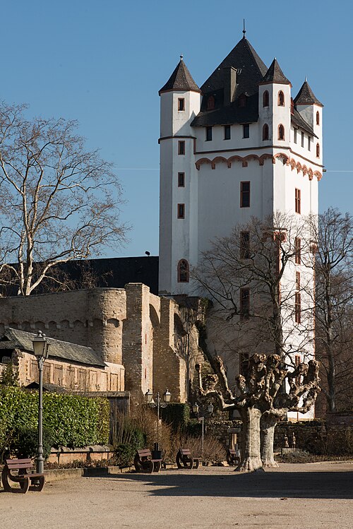
- Burg Eltville6 km · Germany
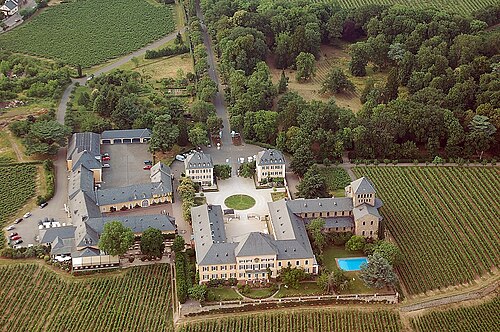
- Schloss Johannisberg7 km · Germany
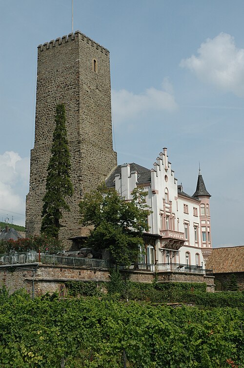
- Boosenburg11 km · Germany
- Brömserburg11 km · Germany
More castles in Germany
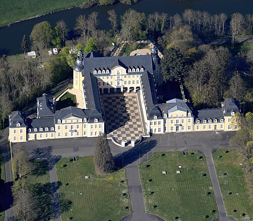
- Schloss OraniensteinGermany · 17th century
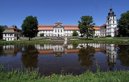
- Schloss FasanerieGermany · 18th century
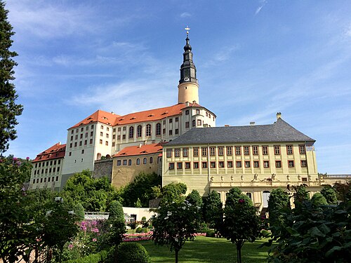
- Schloss WeesensteinGermany · 12th century
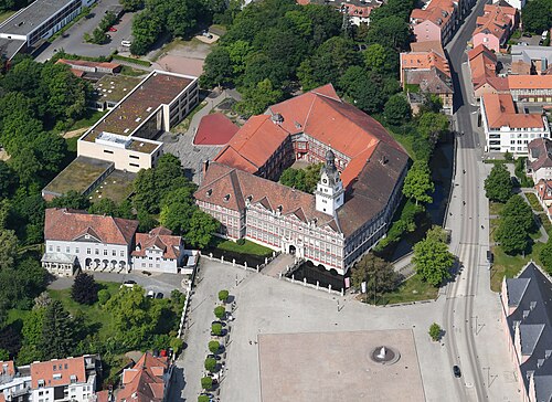
- Schloss WolfenbüttelGermany · 13th century