 Ukraine · 6th century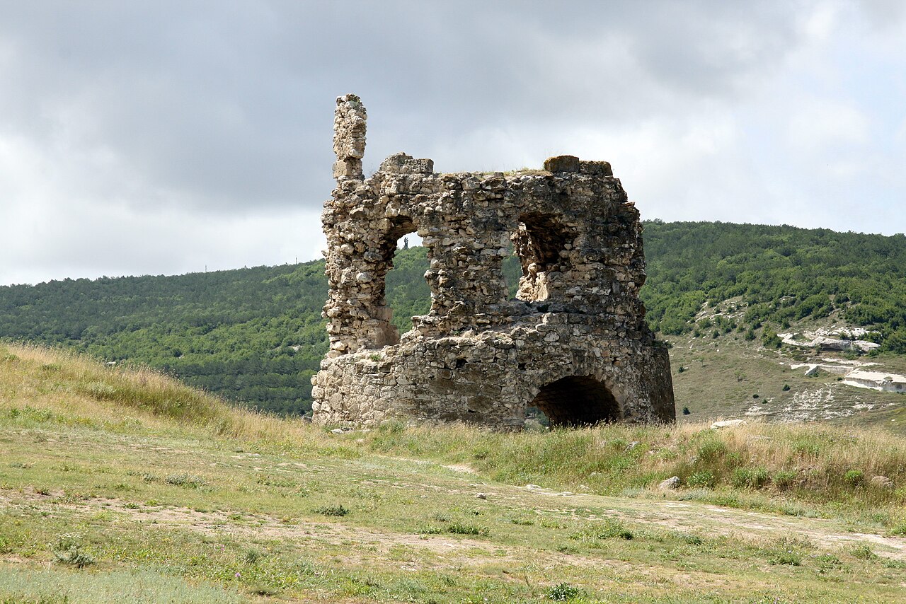
Kalamita Fortress (in Ukrainian: Каламіта, Ancient Greek: Καλαμήτα, Russian: Калами́та) is a military structure located in Crimea, near the mouth of the Chorna river and within the Balaklava raion. It was built by the Byzantines. The structure is a listed monument.
Machine-translated from “Fort Kalamita” on the French Wikipedia, CC BY-SA 4.0.
Kalamita Fortress ranks #4,941 of 9,079 worldwide in the atlas's castle fame ranking, and #70 of the 195 mapped in Ukraine. Founded c. 600, it is older than 96% of the atlas's dated landmarks — one of 39 atlas entries founded in the 6th century. 18 more atlas landmarks stand within 25 km. The nearest day-trip guide is Sevastopol, 7 km away. See how Ukraine compares in the castle statistics.
View on the interactive castle map →