Castle
Kasteel Staverden
 Netherlands
- Heritage status
- Rijksmonument
- Location
- Ermelo
- Coordinates
- 52.28549°, 5.73857°
- Open data
- Wikidata Q2274005
- Links
- Wikimedia Commons
Description
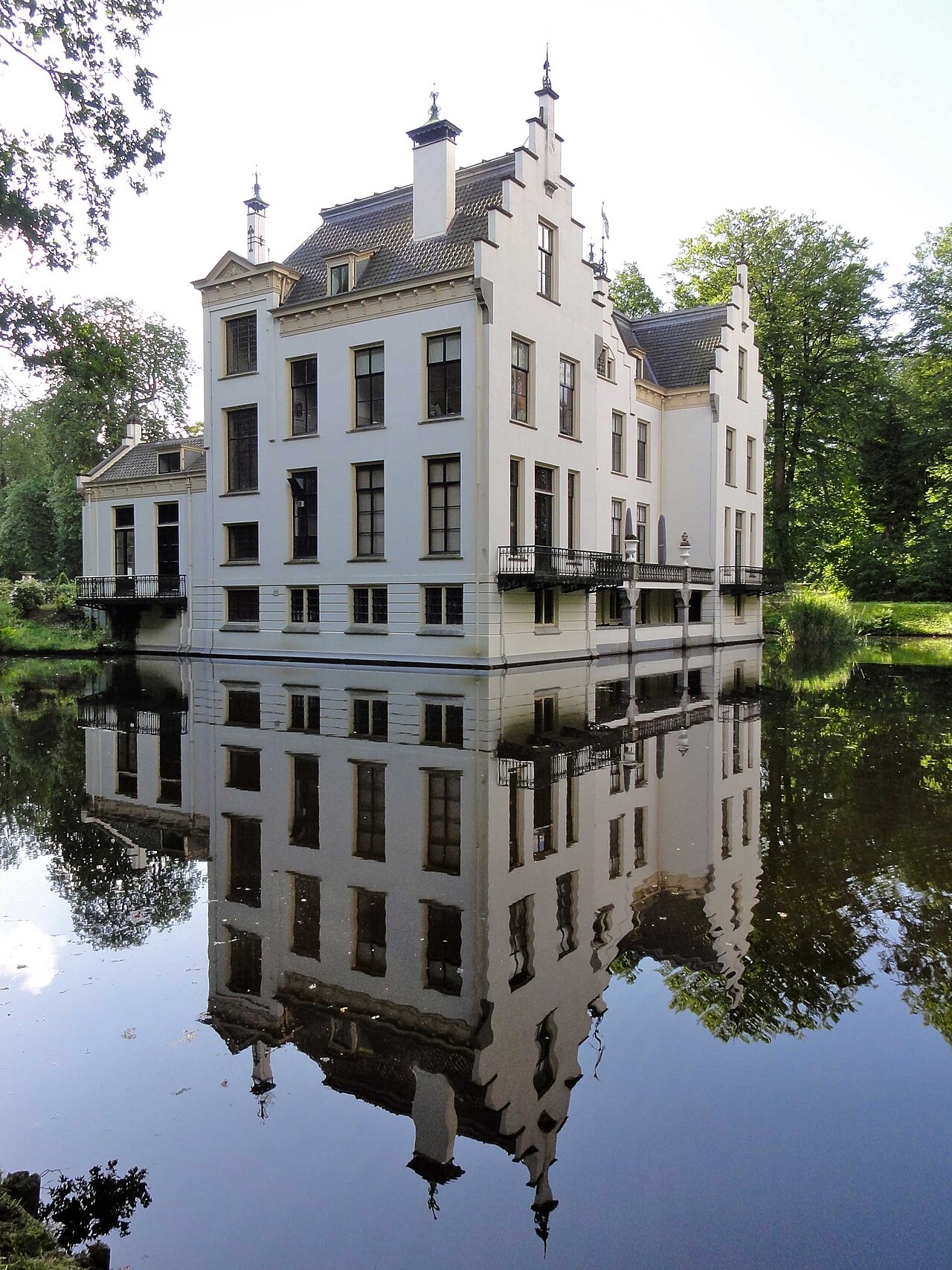
Kasteel Staverden is situated on the Staverdenseweg in Staverden (municipality of Ermelo), in the Dutch province of Gelderland. The house and the park by the house are the property of Geldersch Landschap en Kasteelen and are accessible to the public.
On an island in the park lies a plinth with the text Lenora 1353.
The present castle, by now the fourth, was built partly in 1853 and partly in the year 1905, contains seventeenth-century elements and is built on the foundations of the previous castle, from the eighteenth century. The rooms on the ground floor are decorated with Jugendstil motifs. Of the medieval castle no remains are visible above ground level.
Machine-translated from “Kasteel Staverden” on the Dutch Wikipedia, CC BY-SA 4.0.
In the rankings
Kasteel Staverden ranks #8,106 of 9,902 worldwide in the atlas's castle fame ranking, and #131 of the 213 mapped in Netherlands. 5 more atlas landmarks stand within 25 km. The nearest day-trip guide is Apeldoorn, 18 km away. See how Netherlands compares in the castle statistics.
Castles nearby
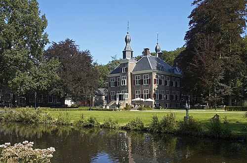
- Kasteel de Essenburgh9 km · Netherlands
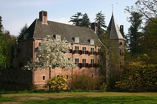
- Het Oude Loo15 km · Netherlands
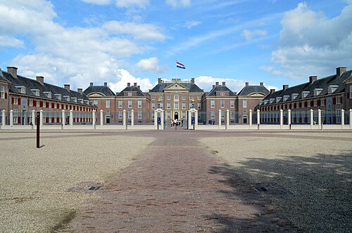
- Het Loo Palace15 km · Netherlands
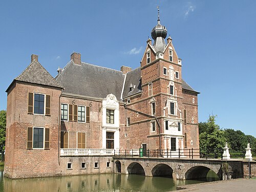
- Cannenburgh Castle15 km · Netherlands
More castles in the Netherlands
- Kasteel MaarsbergenNetherlands
- Huis te MerwedeNetherlands
- Royal Palace of AmsterdamNetherlands · 17th century
- Huis ten BoschNetherlands · 17th century