 Croatia · 18th century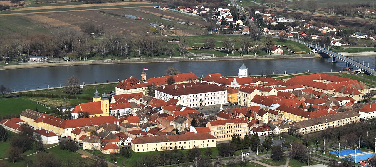
Tvrđa (Citadel) is the old town of the city of Osijek in Croatia. It is the best-preserved and largest ensemble of Baroque buildings in Croatia and consists of a Habsburg star fort built on the right bank of the River Drava. Tvrđa has been described by the World Monuments Fund as "a unique example of an eighteenth-century baroque military, administrative, and commercial urban center".
The star fort was constructed in the immediate vicinity of medieval Osijek after the defeat of the Ottoman forces in 1687, due to Osijek's strategic importance. Constructed starting in 1712 to plans by Mathias von Kaiserfeld and then Maximilian Gosseau de Henef, all five planned bastions and two gates were complete by 1715. By 1735, the inner town was finished and three northern bastions had been added. When complete, it was the largest and most advanced Habsburg fortress on the border with the Ottoman Empire, consisting of eight bastions and featuring armories, depots, a garrison headquarters, military court, construction office, a garrison physician, guardhouse, officers' apartments, a military hospital and seven barracks.
The completed fort was entirely surrounded with walls and palisades and had four main gates at each side (north, south, east, west). Tvrđa had street lights by 1717 and was the site of the first public water supply in Croatia, opened in 1751.
Tvrđa's military importance decreased after the Berlin Congress of 1878, with the increasing stability of the surrounding region. Most of the fort walls and fortifications were destroyed in the 1920s due to the obstacle they presented to the development of Osijek. While the fortifications have largely been removed, the fort's interior core remains intact and is now home to churches, museums, schools and other public buildings, as well as numerous bars and restaurants.
Text adapted from “Tvrđa” on Wikipedia, CC BY-SA 4.0.
Tvrđa ranks #1,644 of 9,079 worldwide in the atlas's castle fame ranking, and #15 of the 79 mapped in Croatia. Founded 1712, it is older than 20% of the atlas's dated landmarks — one of 696 atlas entries founded in the 18th century. Its Wikipedia articles were opened 2,182 times in the last 60 days, more than 71% of the atlas. 1 more atlas landmarks stand within 25 km. The nearest day-trip guide is Novi Sad, 95 km away. See how Croatia compares in the castle statistics.
View on the interactive castle map →