 Ukraine · 17th century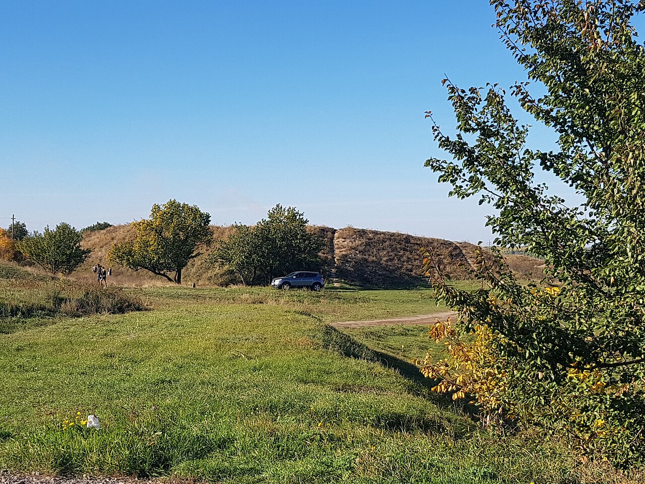
The Kodak fortress (Ukrainian: Кодацька фортеця, romanized: Kodats'ka fortetsya; Polish: Kudak) was a fort built in 1635 by the order of Władysław IV Vasa, ruler of the Polish–Lithuanian Commonwealth, and the Commonwealth's Sejm, on the Dnieper river near what would become the town of Stari Kodaky (now near the city of Dnipro in Ukraine). In 1711, according to the Treaty of the Pruth the fortress was destroyed by the Russians. One of the Dnieper Rapids was called after the fortress.
Text adapted from “Kodak fortress” on Wikipedia, CC BY-SA 4.0.
Kodak Fortress ranks #1,107 of 9,079 worldwide in the atlas's castle fame ranking, and #18 of the 195 mapped in Ukraine. Founded 1635, it is older than 28% of the atlas's dated landmarks — one of 721 atlas entries founded in the 17th century. Its Wikipedia articles were opened 4,347 times in the last 60 days, more than 84% of the atlas. 1 more atlas landmarks stand within 25 km. See how Ukraine compares in the castle statistics.
View on the interactive castle map →