Fortress
Novobohorodytska Fortress
🇺🇦 Ukraine · 17th century
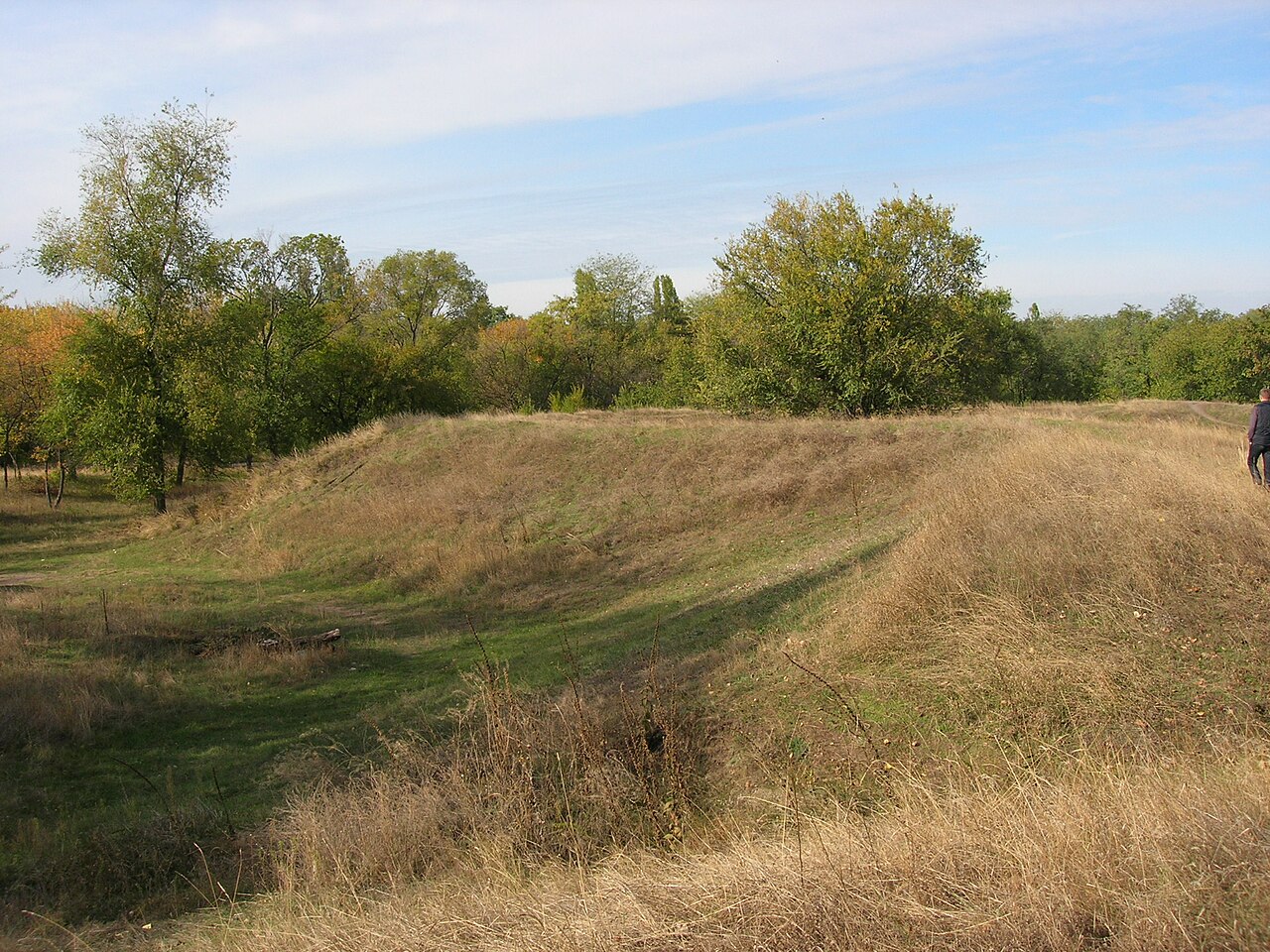
The Bohorodytska Fortress (Ukrainian: Богородицька фортеця, romanized: Theotokos Fortress) or Novobohorodytska Fortress ('New Theotokos fortress') is a 17th-century retrenchment of the Cossack Hetmanate on the right bank of the Samara River. During the Russian Empire's battle for access to the Black and Azov Seas, as well as the new Zaporizhzhia subordinate, the fort became a crucial outpost. According to contemporary experts, the fortress has a far longer history because it was built where the old Cossack town of Samar formerly stood rather than starting from scratch.
Text adapted from “Bohorodytska Fortress” on Wikipedia, CC BY-SA 4.0.
Novobohorodytska Fortress ranks #6,129 of 8,134 worldwide in the atlas's castle fame ranking, and #91 of the 188 mapped in Ukraine. Founded 1688, it is older than 24% of the atlas's dated landmarks — one of 626 atlas entries founded in the 17th century. 1 more atlas landmarks stand within 25 km. See how Ukraine compares in the castle statistics.
View on the interactive castle map →Frequently asked questions
Where is Novobohorodytska Fortress?
Novobohorodytska Fortress stands in Ukraine, at 48.50071°, 35.16342°.
When was Novobohorodytska Fortress built?
The atlas dates its founding to 1688. Earlier structures may have stood on the site; this is the earliest documented founding year.
How famous is Novobohorodytska Fortress?
In this atlas's fame ranking: #6,129 of 8,134 worldwide, and #91 in Ukraine. Fame here combines how many Wikipedia language editions cover a landmark with how many people read them.
What is the nearest castle to Novobohorodytska Fortress?
Kodak Fortress, about 13 km away.
More castles in Ukraine
- Aluston Fortress Ukraine · 6th century
- Gurzuf Fortress Ukraine · 6th century
- Demerdji Isar Ukraine · 13th century
- Asarane Burun Ukraine
More fortresses
- Konstantin Battery Ukraine · 19th century
- Fort Nepean Australia · 19th century
- Fredriksborg Fortress Sweden · 18th century
- Oskar-Fredriksborg Fortress Sweden · 19th century