 Georgia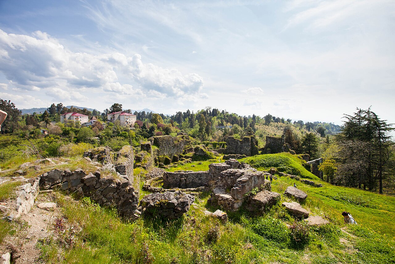
Petra (Greek: Πέτρα) was a fortified town on the eastern Black Sea coast, in Lazica in what is now western Georgia. In the 6th century, under the Byzantine emperor Justinian I, it served as an important Eastern Roman outpost in the Caucasus and, due to its strategic location, became a battleground of the 541–562 Lazic War between Rome and Sasanian Persia (Iran). Mainstream scholarly opinion identifies Petra with a ruined settlement of Late Antiquity at the village of Tsikhisdziri in Adjara, southwestern Georgia.
Text adapted from “Petra, Lazica” on Wikipedia, CC BY-SA 4.0.
Petra (Lazica) ranks #1,025 of 9,035 worldwide in the atlas's castle fame ranking, and #6 of the 47 mapped in Georgia. Its Wikipedia articles were opened 5,024 times in the last 60 days, more than 86% of the atlas. 1 more atlas landmarks stand within 25 km. The nearest day-trip guide is Batumi, 16 km away. See how Georgia compares in the castle statistics.
View on the interactive castle map →