 Poland · 13th century
Konary Castle ranks #8,742 of 9,040 worldwide in the atlas's castle fame ranking, and #387 of the 397 mapped in Poland. Founded c. 1250, it is older than 67% of the atlas's dated landmarks, one of 1091 atlas entries founded in the 13th century. 4 more atlas landmarks stand within 25 km. The nearest day-trip guide is Radom, 83 km away. See how Poland compares in the castle statistics.
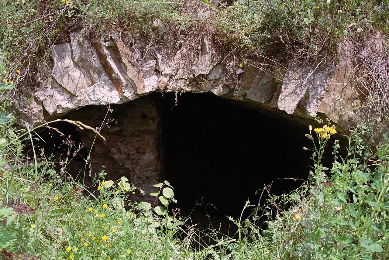
Konary Castle was a castle that stood on a hill formed by the remains of an old hillfort, north of the village of Konary. Of the former castle, only fragments of its foundations and part of its cellars survive.
Machine-translated from “Zamek w Konarach” on the Polish Wikipedia, CC BY-SA 4.0.
View on the interactive castle map →