 Poland · 14th century
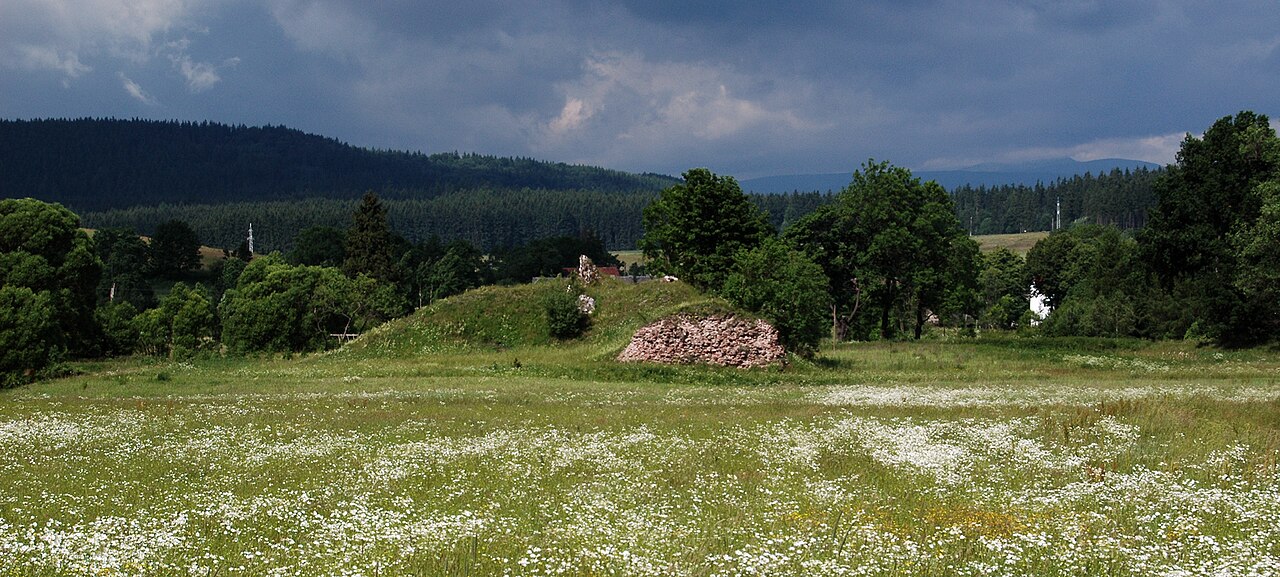
Wojaczów Castle ranks #8,716 of 9,040 worldwide in the atlas's castle fame ranking, and #382 of the 397 mapped in Poland. Founded c. 1400, it is older than 50% of the atlas's dated landmarks, one of 758 atlas entries founded in the 14th century. 17 more atlas landmarks stand within 25 km. The nearest day-trip guide is Wałbrzych, 10 km away. It is one of the 80 landmarks on the atlas's regional map of Lower Silesia. See how Poland compares in the castle statistics.
Wojaczów Castle (Cunradiswalde – 1355, 1364, 1374, 1375, Konradów Castle) is a historic castle built in the 14th century and destroyed in 1437 in the village of Grzędy (Lower Silesian Voivodeship), in Poland, in Wałbrzych County, in the commune of Czarny Bór, at the foot of the Krzeszów Hills in the Kamienna Góra Basin and of the Lesista and Czarny Las ranges (Kamienne Mountains) in the Central Sudetes.
Machine-translated from “Zamek Wojaczów” on the Polish Wikipedia, CC BY-SA 4.0.
View on the interactive castle map →