 Norway · 17th century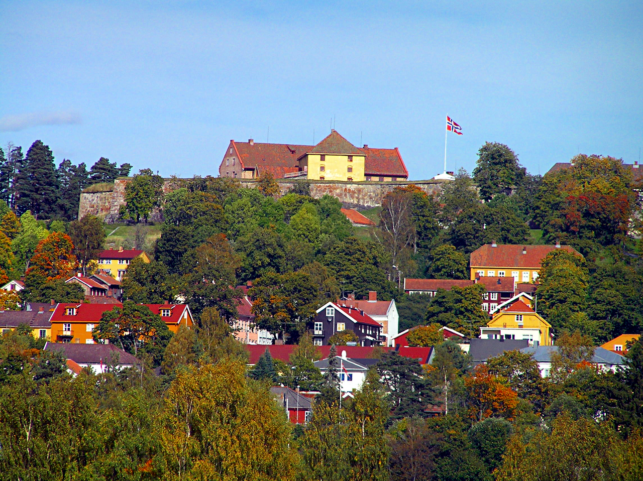
Kongsvinger Fortress (Norwegian: Kongsvinger festning) is located in the city of Kongsvinger which is located within Kongsvinger Municipality in Innlandet county, Norway. It is situated on a hill west and north of the Glomma river, standing astride the ancient Vinger Royal Road, which connected Norway and Värmland, Sweden as well as on the north-south Norwegian route along the Glomma. As Kongsvinger formed a key junction point for these routes, fortifications were constructed there to protect against invasion from the east.
Text adapted from “Kongsvinger Fortress” on Wikipedia, CC BY-SA 4.0.
Kongsvinger Fortress ranks #4,185 of 9,035 worldwide in the atlas's castle fame ranking, and #19 of the 26 mapped in Norway. Founded 1673, it is older than 23% of the atlas's dated landmarks, one of 708 atlas entries founded in the 17th century. Its Wikipedia articles were opened 1,489 times in the last 60 days, more than 62% of the atlas. The nearest day-trip guide is Oslo, 77 km away. See how Norway compares in the castle statistics.
View on the interactive castle map →