 Slovakia · 16th century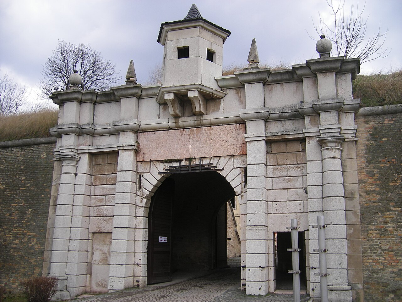
Fortress of Komárno, located in Slovakia, is the central part of the Komárno fortification system at the confluence of the Danube and Váh rivers.
The fortress is located in today's urban area of Komárno on the left bank of the Danube, which has belonged to Czecho-Slovakia (today's Slovakia) since 1920. It had great strategic importance in the past and was the largest fortress in what was then the Austro-Hungarian Empire.
During the period of Turkish expansion in the 16th century, the city of Komárno fell within the border area between the Habsburg and Ottoman empires. The construction of the so-called "old" fortress began in 1546 on the foundations of a medieval castle according to plans by the Italian master builder Pietro Ferrabosco and the Alsatian Daniel Specklin. The fortress was built at the confluence of the Danube and Váh rivers to protect further Turkish advances into Habsburg-ruled Hungary. In 1526, the Ottoman Empire invaded Hungary. In the Battle of Mohács on 29 August 1526, the Hungarian army was crushed by the Turks.
The fortress proved itself when in 1594 the Ottomans tried unsuccessfully to take the city of Komárno with an army of 100,000 men. Between the years 1673 and 1683 the fortress was strengthened. The Old Fortress had five bastions and two inner courtyards surrounded by casemate-like structures designed to house the guards. The fortress was surrounded by a moat. And there was only one access to the fortress through the so-called Ferdinand Gate.
After the Turks conquered nearby Nové Zámky in 1663, it was decided to build a "new" fortress in Komárno. The master builder Franz Wymes was commissioned with the construction work, and the work was completed in 1673. The New Fortress had five bastions and was connected to the Old Fortress via the two eastern bastions. The main access was via the well-guarded Leopold Gate. The New Fortress was also surrounded by a wide moat. The top of the western bastion of the New Fortress bears the inscription NEC ARTE, NEC MARTE (Eng. "Neither by cunning nor by force"). These words fully characterise the fortification complex, which was so perfect and impregnable for that time. And indeed, the fortress of Komárno could never be taken by the Ottomans.
In later times, the two fortresses were given the name "Citadel". In 1682 the fortress was severely damaged by floods.
Text adapted from “Fortress of Komárno” on Wikipedia, CC BY-SA 4.0.
Fortress of Komárno ranks #4,370 of 9,035 worldwide in the atlas's castle fame ranking, and #58 of the 135 mapped in Slovakia. Founded 1546, it is older than 39% of the atlas's dated landmarks, one of 886 atlas entries founded in the 16th century. Its Wikipedia articles were opened 1,310 times in the last 60 days, more than 58% of the atlas. 7 more atlas landmarks stand within 25 km. The nearest day-trip guide is Nitra, 62 km away. See how Slovakia compares in the castle statistics.
View on the interactive castle map →