 Norway · 19th century
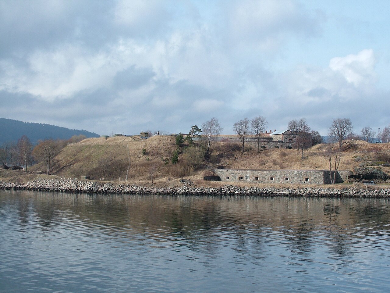
Oscarsborg Fortress (Norwegian: Oscarsborg festning) is a coastal fortress in the Oslofjord, close to the town of Drøbak in Akershus County, Norway. The best known part is situated on two small islets: Nordre Kaholmen and Søndre Kaholmen. In addition, the main artillery batteries were on the island Håøya and smaller batteries were on the mainland to the west and east of the fjord. The fortress is best known for sinking the German heavy cruiser Blücher on 9 April 1940. The fortress was military territory until 2003 when it was made into a publicly available museum and resort. In 2014, Oscarsborg Fortress was given protected status.
Text adapted from “Oscarsborg Fortress” on Wikipedia, CC BY-SA 4.0.
Oscarsborg Fortress ranks #638 of 9,035 worldwide in the atlas's castle fame ranking, and #3 of the 26 mapped in Norway. Founded 1848, it is older than 8% of the atlas's dated landmarks, one of 705 atlas entries founded in the 19th century. Its Wikipedia articles were opened 14,397 times in the last 60 days, more than 96% of the atlas. The nearest day-trip guide is Oslo, 28 km away. See how Norway compares in the castle statistics.
View on the interactive castle map →