 Ukraine · 10th century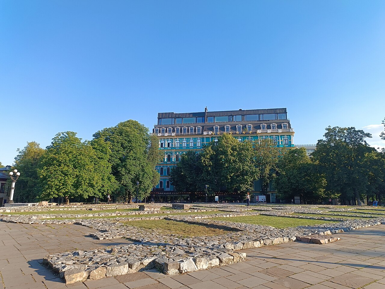
The City of Volodymyr is the name accepted in scholarship for the detinets (citadel) of Kyiv of the late 10th to the first half of the 13th century on the northern part of Starokyivska Hill, which took shape during the reign of Volodymyr the Great. It was part of the Upper Town, which, in addition to the detinets, consisted of the outer towns: the City of Yaroslav, the City of Iziaslav-Sviatopolk and Kopyriv Kinets.
Machine-translated from “Город Владимира” on the Russian Wikipedia, CC BY-SA 4.0.
Kyiv Kremlin ranks #6,468 of 9,079 worldwide in the atlas's castle fame ranking, and #92 of the 195 mapped in Ukraine. Founded c. 975, it is older than 92% of the atlas's dated landmarks — one of 193 atlas entries founded in the 10th century. Its Wikipedia articles were opened 1,092 times in the last 60 days, more than 53% of the atlas. 6 more atlas landmarks stand within 25 km. See how Ukraine compares in the castle statistics.
View on the interactive castle map →