 Ukraine · 13th century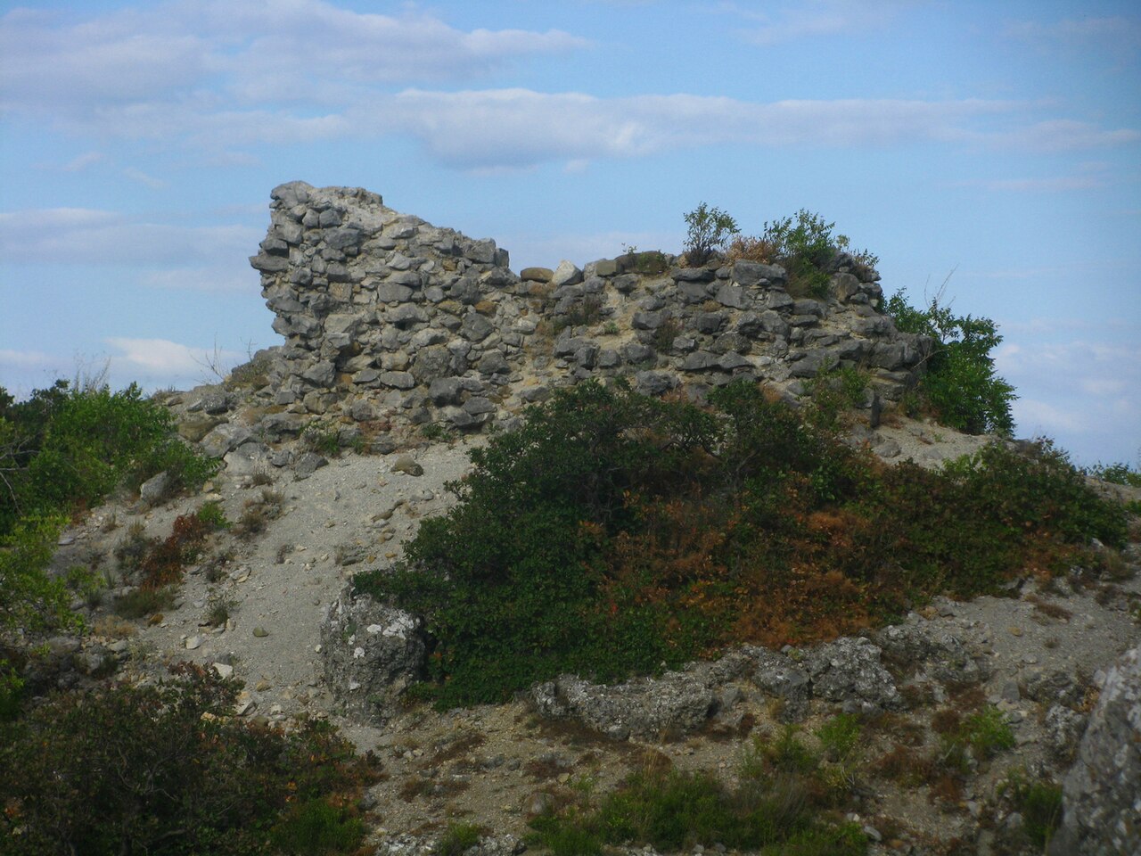
Gelin-Kaya (Ukrainian Гелін-Кая, Crimean Tatar Gelin Qaya, Гелин Къая) is the ruins of a feudal castle of the 13th–14th century, located half a kilometre northwest of the village of Krasnokamenka on the free-standing rock of Kiziltash (Krasny Kamen, "Red Stone"), bounded on three sides by steep vertical cliffs up to 35 m high and having a narrow steep approach only from the north. The name "Gelin-Kaya", translated from the Crimean Tatar language, means "Hellenic rock". By decisions No. 595 of 5 September 1969 and No. 16 (registration No. 184) of 15 January 1980 of the Crimean Regional Executive Committee the "fortification 'Gelin-Kaya': ruins of defensive walls and a tower" of the 12th–15th century was declared a historical monument of regional significance.
Machine-translated from “Гелин-Кая” on the Russian Wikipedia, CC BY-SA 4.0.
Gelin-Kaya ranks #8,960 of 9,079 worldwide in the atlas's castle fame ranking, and #185 of the 195 mapped in Ukraine. Founded c. 1300, it is older than 61% of the atlas's dated landmarks — one of 1080 atlas entries founded in the 13th century. 17 more atlas landmarks stand within 25 km. The nearest day-trip guide is Simferopol, 45 km away. See how Ukraine compares in the castle statistics.
View on the interactive castle map →