Fortress
Mirjan Fort
 India · 16th century
- Founded
- c. 1550
- Heritage status
- Monument of National Importance
- Location
- Uttara Kannada District
- Coordinates
- 14.4888°, 74.4175°
- Open data
- Wikidata Q6873592
Description
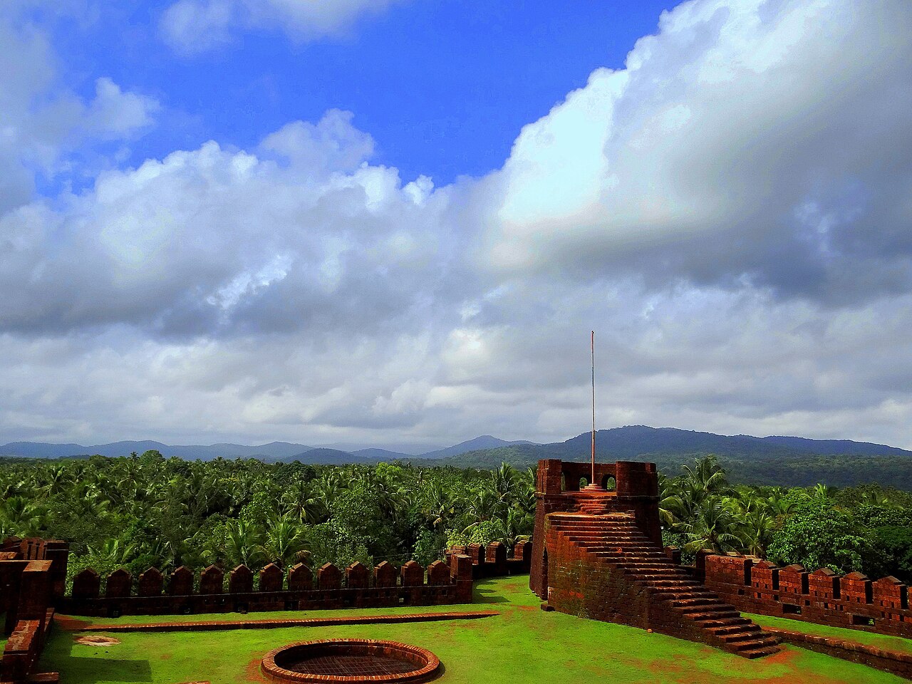
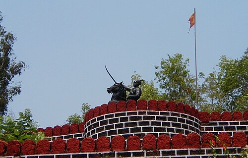
The Mirjan Fort is located on the west coast of the Uttara Kannada district in the southern Indian state of Karnataka. The fort known for its architectural elegance has been the location of several battles in the past. It is about 0.5 kilometres (0.31 mi) from the National Highway 66 and 21 kilometres (13 mi) from Gokarna, the famous Hindu pilgrimage centre on the west coast of India.
According to the first historical version, Rani Chennabhairadevi of Gersoppa (under the Vijayanagara Empire) was initially credited with building the Mirjan Fort in the 16th century. She ruled for 54 years and also lived in the fort. During her reign, the port at Mirjan, which is 32 kilometres (20 mi) to the southeast of Karwar, was used for shipping pepper, saltpetre and betel nut to Surat. Gersoppa, a district annexed to Bednur, was famous for the pepper exported from this region. Consequently, the Portuguese gave Chennabhairadevi the epithet "Rani, the Pepper queen" ("Rainha de Pimenta" in Portuguese).
Text adapted from “Mirjan Fort” on Wikipedia, CC BY-SA 4.0.
In the rankings
Mirjan Fort ranks #3,583 of 9,040 worldwide in the atlas's castle fame ranking, and #138 of the 223 mapped in India. Founded c. 1550, it is older than 36% of the atlas's dated landmarks, one of 887 atlas entries founded in the 16th century. Its Wikipedia articles were opened 2,406 times in the last 60 days, more than 74% of the atlas. See how India compares in the castle statistics.
Castles nearby
- Fort Anjediva46 km · India
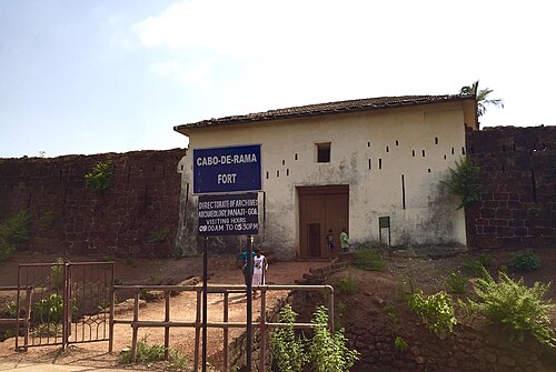
- Cabo de Rama85 km · India
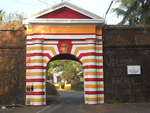
- Rachol Fort102 km · India
- Ponda Fort113 km · India
More castles in India
- Narnala FortIndia · 10th century
- Palamu FortIndia
- Rajwada palaceIndia · 18th century
- Tung FortIndia · 16th century