Fortress
Narnala Fort
 India · 10th century
- Founded
- c. 950
- Heritage status
- Monument of National Importance
- Location
- Akola district
- Coordinates
- 21.24121°, 77.02734°
- Open data
- Wikidata Q3824064
Description
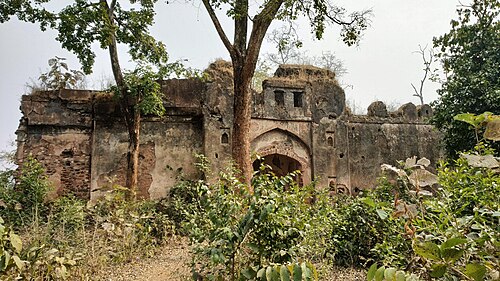
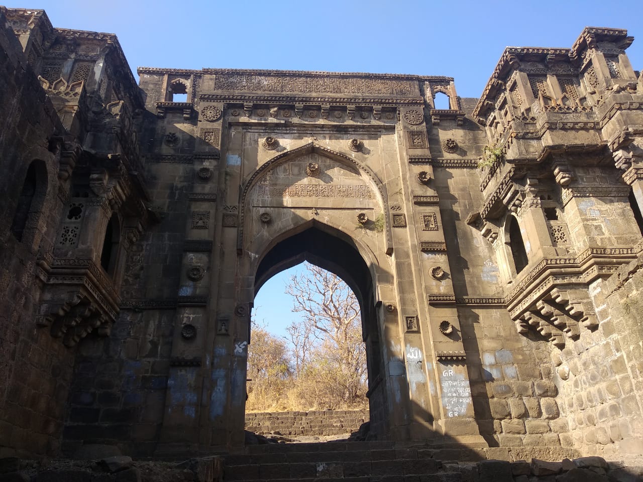
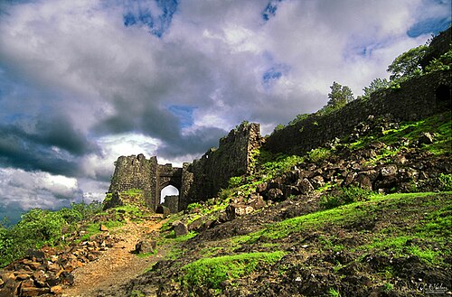
Narnala Fort, or Narnala Qila Sarkar, is a hill fortress in the Satpura Range of Vidarbha, Maharashtra, India. The site dates back to the 10th century. Over the centuries, the fort came under the control of various Islamic dynasties, including Imad-ul-Mulk and his successors. Although the fort underwent modifications during successive periods of Islamic rule, several major fortifications and structures—including the Mahakali Gate, Rani Mahal, and the Elephant Stable—were only afterwards constructed, traditionally attributed to the ruler Rana Narnal Singh Solanki at the turn of the 16th century.
The fort is named after the ruler Rajput Solanki Chaulukya, Raja Narnal Singh, also known as Narnal Singh Swami. It was renamed "Shahnoor" by Islamic rulers, but when it was later reacquired and rebuilt with Hindu cultural elements, it was named "Narnala" by Rao Rana Narnal Singh Solanki.
Text adapted from “Narnala” on Wikipedia, CC BY-SA 4.0.
In the rankings
Narnala Fort ranks #4,791 of 9,040 worldwide in the atlas's castle fame ranking, and #171 of the 223 mapped in India. Founded c. 950, it is older than 92% of the atlas's dated landmarks, one of 192 atlas entries founded in the 10th century. See how India compares in the castle statistics.
Castles nearby
- Gawilghur Fort36 km · India
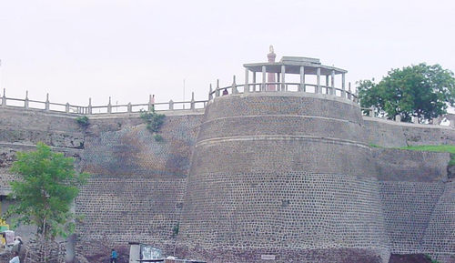
- Akola Fort60 km · India
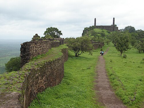
- Asirgarh Fort80 km · India
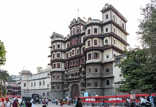
- Rajwada palace204 km · India
More castles in India
- Palamu FortIndia
- Tung FortIndia · 16th century
- Vattakottai FortIndia · 18th century
- Zafar MahalIndia · 18th century