Castle
Mitford Castle
 England · 11th century
- Founded
- c. 1075
- Heritage status
- Grade I listed building · scheduled monument
- Location
- Mitford
- Coordinates
- 55.1633°, -1.73463°
- Open data
- Wikidata Q6881554
- Links
- Wikimedia Commons
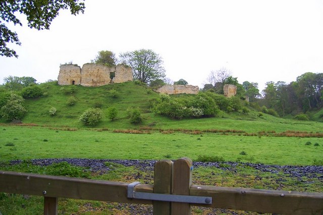
Description
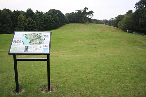
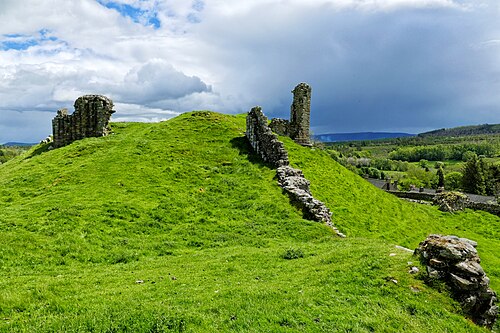
Mitford Castle is an English castle dating from the end of the 11th century and located in the village of Mitford, Northumberland, to the west of Morpeth. It is a Scheduled Ancient Monument and a Grade I listed building, enlisted on 20 October 1969. The castle is also officially on the Buildings at Risk Register. The Norman motte and bailey castle stands on a small prominence, a somewhat elliptical mound, above the River Wansbeck. The selected building site allowed for the natural hill to be scarped and ditched, producing the motte.
Mitford Castle was the first of three seats for the main line of the Mitford family constructed on manor lands. Following the destruction of Mitford Castle, Mitford Old Manor House (nearby and to the northwest) was used from the 16th century until the construction of Mitford Hall in 1828. Mitford Hall stands in an 85-acre (340,000 m2) park to the west of the castle ruins.
Text adapted from “Mitford Castle” on Wikipedia, CC BY-SA 4.0.
In the rankings
Mitford Castle ranks #3,652 of 9,902 worldwide in the atlas's castle fame ranking, and #272 of the 397 mapped in England. Founded c. 1075, it is older than 87% of the atlas's dated landmarks, one of 458 atlas entries founded in the 11th century. Its Wikipedia articles were opened 1,330 times in the last 60 days, more than 64% of the atlas. 12 more atlas landmarks stand within 25 km. The nearest day-trip guide is Newcastle upon Tyne, 22 km away. It is one of the 20 landmarks on the atlas's regional map of Northumberland. It is stop 9 of 18 on the Northumberland castle coast, Newcastle upon Tyne to Berwick-upon-Tweed. See how England compares in the castle statistics.
Castles nearby
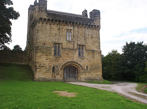
- Morpeth Castle3 km · England
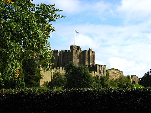
- Bothal Castle7 km · England
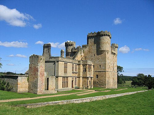
- Belsay Castle11 km · England
- Seaton Delaval Hall18 km · England
More castles in England
- Huntingdon CastleEngland · 11th century
- Mow Cop CastleEngland · 18th century
- Allington CastleEngland · 13th century
- Harbottle CastleEngland · 12th century