 Wales · 12th century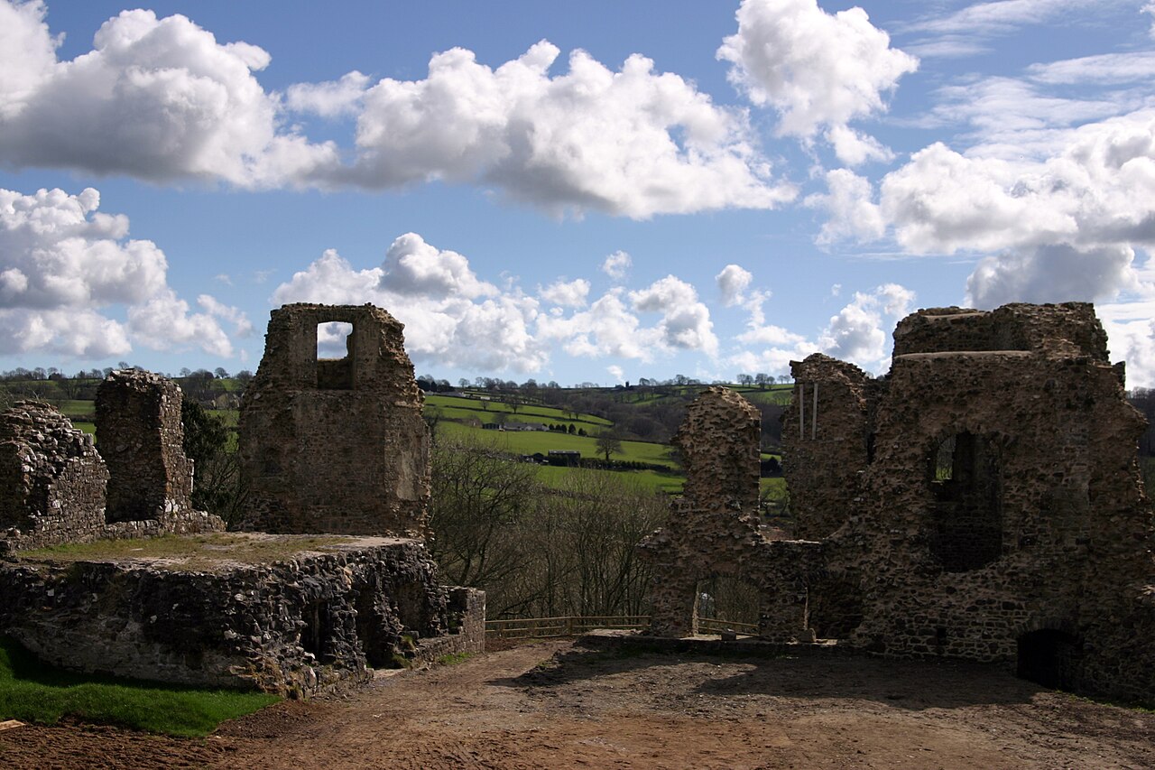
Narberth Castle (Welsh: Castell Arberth) is a ruined Norman fortress in the town of Narberth, Pembrokeshire, West Wales. It forms part of the Landsker Line.
A chronicle in the Cotton library mentions that, in 1116, Gruffydd ap Rhys attacked and destroyed the castle of arberth; this however probably refers to the nearby Sentence Castle, the stone castle at Narberth not having been built until over 100 years later.
Text adapted from “Narberth Castle” on Wikipedia, CC BY-SA 4.0.
Narberth Castle ranks #5,712 of 9,079 worldwide in the atlas's castle fame ranking, and #99 of the 107 mapped in Wales. Founded c. 1150, it is older than 80% of the atlas's dated landmarks — one of 756 atlas entries founded in the 12th century. 13 more atlas landmarks stand within 25 km. The nearest day-trip guide is Swansea, 58 km away. See how Wales compares in the castle statistics.
View on the interactive castle map →