Castle
Motte Montferland
🇳🇱 Netherlands
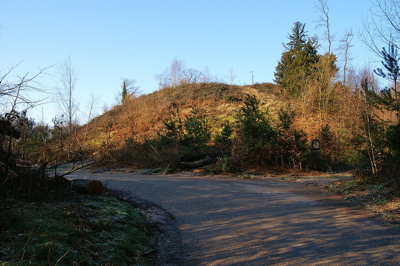
The hill Montferland is part of the woodland area of the same name, Montferland, in the eastern part of Gelderland. The hill lies south-west of Zeddam and north-west of 's-Heerenberg and has a height of 66.8 metres above NAP. The Montferland hill is not the highest hill in the area; the Hettenheuvel near Braamt measures 91.6 m.
Machine-translated from “Montferland (heuvel)” on the Dutch Wikipedia, CC BY-SA 4.0.
Motte Montferland ranks #7,190 of 8,134 worldwide in the atlas's castle fame ranking, and #154 of the 201 mapped in Netherlands. 19 more atlas landmarks stand within 25 km. The nearest day-trip guide is Arnhem, 24 km away. See how Netherlands compares in the castle statistics.
View on the interactive castle map →Frequently asked questions
Where is Motte Montferland?
Motte Montferland stands in the Netherlands, at 51.89581°, 6.24236°.
How famous is Motte Montferland?
In this atlas's fame ranking: #7,190 of 8,134 worldwide, and #154 in the Netherlands. Fame here combines how many Wikipedia language editions cover a landmark with how many people read them.
What is the nearest castle to Motte Montferland?
Castle Huis Bergh, about 2 km away.
More castles in the Netherlands
- Landsfort Herle Netherlands · 13th century
- Polanen Castle Netherlands · 13th century
- Huis Overvoorde, Rijswijk Netherlands · 17th century
- Fort Amsterdam (Sint Eustatius) Netherlands · 18th century
More castles
- Cemilli Castle Turkey
- Mehrnegar Castle Iran
- Sinap Castle Turkey
- Ardanuç Castle Turkey · 5th century