


 Castles near Japeri
20 castles, fortresses, palaces and ruins within 100 km of the city centre: every one on the interactive map, with photos, distances and directions.
- Within 100 km
- 20 landmarks
- By type
- 11 fortresses · 8 palaces & châteaux · 1 ruin
- Closest
- Fortim de Caetano Madeira · 49 km
- Most famous
- Fort Copacabana · #965
- Oldest
- Fort Coligny · 1555
- City
- 96,289 residents
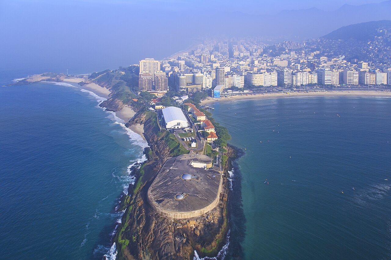
The closest is Fortim de Caetano Madeira, 49 km south-east of the city centre; the most famous is Fort Copacabana (#965 of 9,902 worldwide) 61 km south-east. The oldest dated site in the circle is Fort Coligny, founded 1555.
Every one of them stands in Brazil: the country page shows the full national picture.
Day trips: 25–60 km
- Paço de São Cristóvão53 km south-east · Palace & château
Paço de São Cristóvão (Portuguese pronunciation: [ˈpasu d sɐ̃w kɾisˈtɔvɐ̃w]; English: Palace of Saint Christopher; also known as Palácio Imperial or…
- Paço Imperial57 km south-east · Palace & château
The Paço Imperial, or Imperial Palace, previously known as the Royal Palace of Rio de Janeiro and Palace of the Viceroys, is a historic building in…
- Imperial Museum of Brazil51 km east · Palace & château
The Museu Imperial de Petrópolis is a museum in the historic center of Petrópolis, Rio de Janeiro, Brazil.
- Catete Palace58 km south-east · Palace & château
The Catete Palace is an urban mansion in the Flamengo neighborhood of Rio de Janeiro, Brazil.
- Guanabara Palace58 km south-east · Palace & château
The Guanabara Palace is the official seat of the government of Rio de Janeiro state.
- Tiradentes Palace57 km south-east · Palace & château
The Tiradentes Palace is an eclectic government building located in the Centro neighborhood, next to the Paço Imperial in Rio de Janeiro, Brazil.
- Palácio Rio Negro51 km east · Palace & château
The Palácio Rio Negro is a palace located in Petrópolis, situated in a mountainous part of the state of Rio de Janeiro, Brazil.
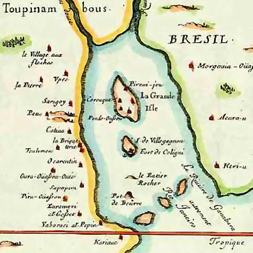
- Fort Coligny59 km south-east · Ruin
Fort Coligny was a fortress founded by Nicolas Durand de Villegaignon in Guanabara Bay, Brazil in 1555, in what constituted the so-called France…
- Palace of Itamaraty56 km south-east · Palace & château
The Itamaraty Palace is a 19th-century building of great historical and artistic value located in the city of Rio de Janeiro, Brazil.
- Fortaleza de Nossa Senhora da Conceição (Rio de Janeiro)56 km south-east · Fortress
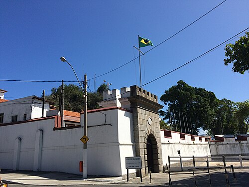
Fortaleza de Nossa Senhora da Conceição is a fort located in Rio de Janeiro, Brazil.
- Fortaleza de São José da Ilha das Cobras57 km south-east · Fortress
The Fortaleza de São José da Ilha das Cobras is located on the Ilha das Cobras, within Guanabara Bay, in the historic centre of the city of Rio de…
- Fort of Santiago58 km south-east · Fortress
The Fort of Santiago was a former fortification located at the São Tiago quay, at the foot of the Morro do Descanso, between the beaches of Piaçaba…
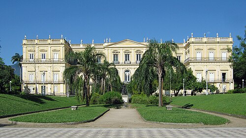
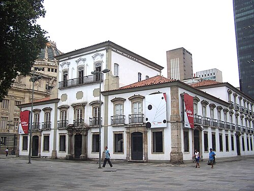
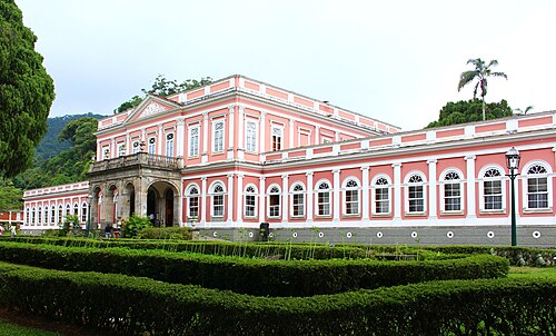
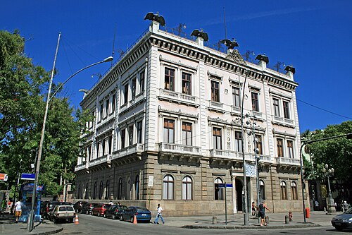
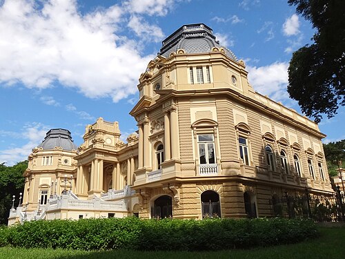
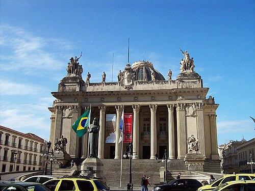
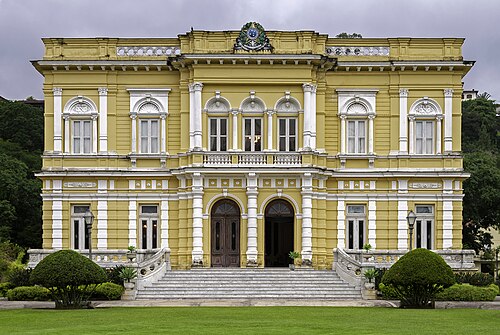
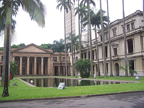
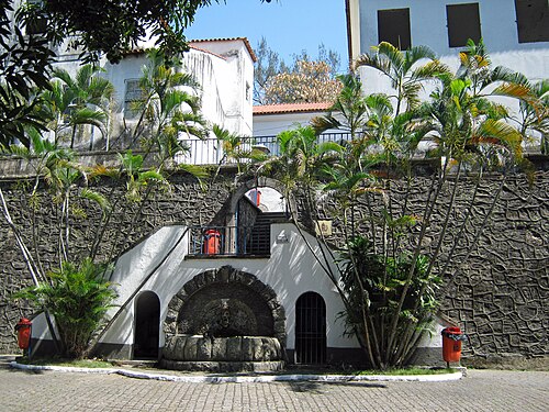
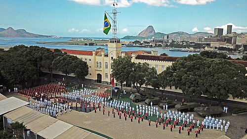
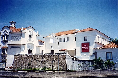
+ 1 more in this range: every one is on the interactive map.
Farther afield: 60–100 km
- Fort Copacabana61 km south-east · Fortress
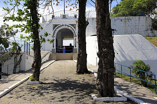
Fort Copacabana is a military base at the south end of the beach that defines the district of Copacabana, Rio de Janeiro, Brazil.
- Fortress of Santa Cruz65 km south-east · Fortress
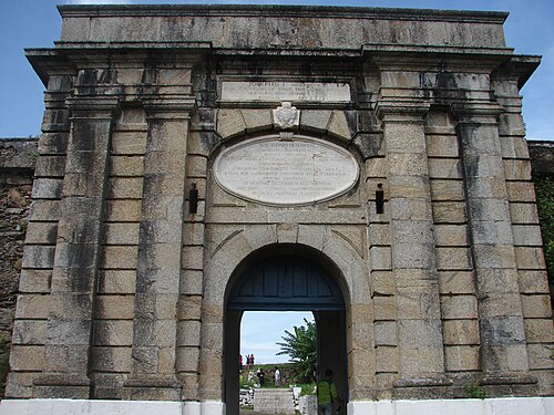
Fortaleza de Santa Cruz da Barra is a fort located in Niterói, Rio de Janeiro in Brazil.
- Fortaleza de São João61 km south-east · Fortress
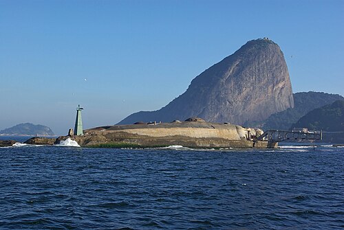
The Fortress of São João da Barra do Rio de Janeiro, commonly known as the Fortress of São João or São João Fort, is a 16th-century star fort in the…
- Tamandaré da Laje Fort61 km south-east · Fortress
The Tamandaré da Laje Fort is located on Laje island, city and state of Rio de Janeiro, in Brazil.
- Fort of Gragoatá60 km south-east · Fortress
Forte de São Domingos de Gragoatá is a fort located in Niterói, Rio de Janeiro in Brazil.
- Forte Duque de Caxias62 km south-east · Fortress
The Forte Duque de Caxias, also called in Portuguese Forte da Ponta da Vigia, Forte da Vigia, Forte da Espia or Forte do Leme, is a historic fort on…
- Fort of Saint Louis63 km south-east · Fortress
Forte de São Luís is a fort located in Niterói, Rio de Janeiro in Brazil.
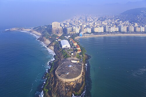
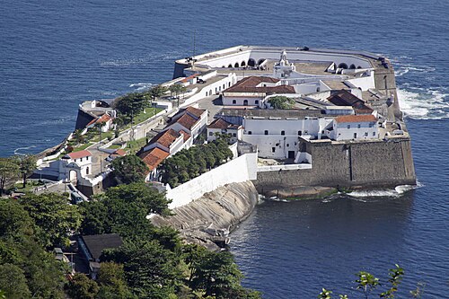
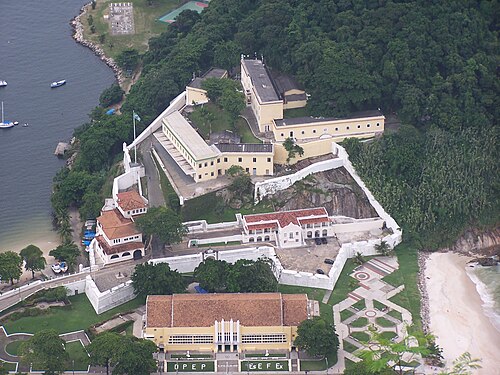

Distances are straight-line from the city centre. City coordinates and population: Wikidata Q1787673.
Frequently asked questions
How many castles are near Japeri?
The Castle Map atlas maps 20 landmarks (11 fortresses · 8 palaces & châteaux · 1 ruin) within 100 km of the centre of Japeri, measured straight-line: a curated selection of well-documented landmarks, not a count of every fortification ever built.
What is the closest castle to Japeri?
Fortim de Caetano Madeira, a fortress 49 km south-east of the city centre.
What is the most famous castle near Japeri?
Fort Copacabana, ranked #965 of 9,902 worldwide in the atlas's fame ranking: 61 km south-east from Japeri.
What is the oldest castle near Japeri?
The oldest dated landmark in the circle is Fort Coligny, founded 1555: 59 km south-east. Earlier structures may have existed; this is the oldest with a documented founding year.
Nearby city guides
- Rio de Janeiro55 km
- Teresópolis75 km