 Poland · 14th century
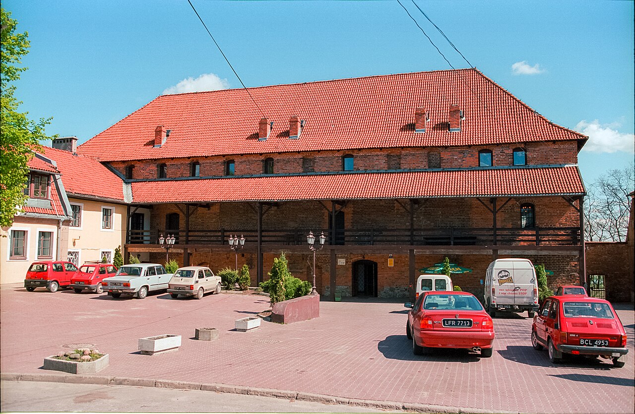
Nowe Castle ranks #7,654 of 9,040 worldwide in the atlas's castle fame ranking, and #303 of the 397 mapped in Poland. Founded c. 1375, it is older than 53% of the atlas's dated landmarks, one of 758 atlas entries founded in the 14th century. 4 more atlas landmarks stand within 25 km. The nearest day-trip guide is Toruń, 71 km away. See how Poland compares in the castle statistics.
Nowe Castle (Polish: Zamek w Nowem, German: Burg Neuenburg) is a medieval castle in Nowe, Poland, located on the bank of the River Vistula by the Castle Square.
The castle was constructed in the second half of the fourteenth century, by the Teutonic Order for the Pomeranian castellans. The castle is located by the north-eastern part of Nowe. After 1465, the castle housed the residence of the Starosta of the House of Nowskiscy, the castle was largely destroyed by the Swedes during the Deluge. After the First Partition of Poland in 1787, Prussian authorities partially deconstructed the castle, but kept the main wing which was converted into an Evangelical Protestant Church. In the next century the castle was used as a warehouse and fire station. In the 1970s, the castle was renovated, the works finished in the year of 1992. Currently, the castle houses the Castle Centre of Culture (Centrum Kultury "Zamek").
Text adapted from “Nowe Castle” on Wikipedia, CC BY-SA 4.0.
View on the interactive castle map →