 Czech Republic
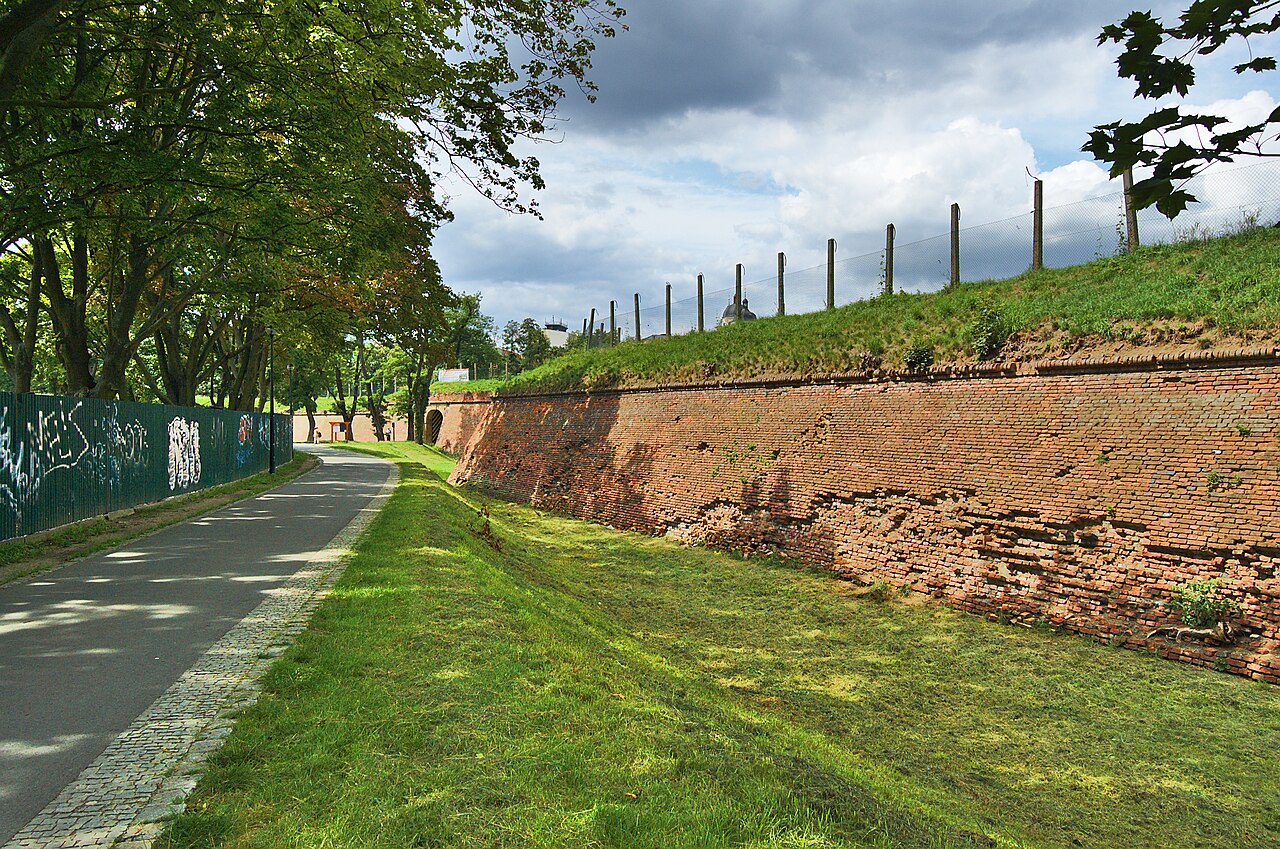
From the 17th century onwards, the Moravian city of Olomouc was designated the Olomouc Fortress, its defensive works having been extended at that time to fortify the Austrian-Prussian border. They were successively enlarged until the second half of the 19th century, until technical advances in artillery made them obsolete and they were largely removed while still under Habsburg rule.
Machine-translated from “Festung Olmütz” on the German Wikipedia, CC BY-SA 4.0.
Olomouc Fortress ranks #4,076 of 9,035 worldwide in the atlas's castle fame ranking, and #115 of the 243 mapped in Czech Republic. Its Wikipedia articles were opened 1,094 times in the last 60 days, more than 53% of the atlas. 2 more atlas landmarks stand within 25 km. The nearest day-trip guide is Olomouc, 1 km away. See how Czech Republic compares in the castle statistics.
View on the interactive castle map →