 Switzerland · 20th century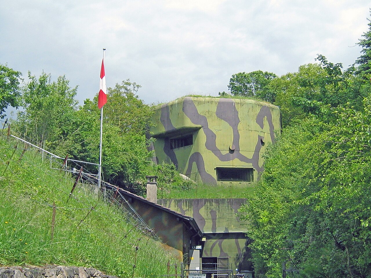
Fort Reuenthal is a 20th-century Swiss fortification located in the Aargau canton near the Swiss border with Germany. Built between 1937 and 1939, the fort overlooks the Rhine where it bends around the town of Full-Reuenthal, and was intended to prevent a crossing of the Rhine at the hydroelectric plant at Dogern. It was a component of the Swiss Border Line of defenses. It is armed with two artillery blocks for 75 mm guns and two machine gun blocks. The fort uses camouflage, with house-like superstructures over some positions. Deactivated as a military post in 1988, it is operated as a museum.
Text adapted from “Fort Reuenthal” on Wikipedia, CC BY-SA 4.0.
Fort Reuenthal ranks #4,221 of 9,035 worldwide in the atlas's castle fame ranking, and #46 of the 213 mapped in Switzerland. Founded 1939, one of 161 atlas entries founded in the 20th century. Its Wikipedia articles were opened 987 times in the last 60 days, more than 50% of the atlas. 13 more atlas landmarks stand within 25 km. The nearest day-trip guide is Winterthur, 41 km away. See how Switzerland compares in the castle statistics.
View on the interactive castle map →