 Sweden · 19th century
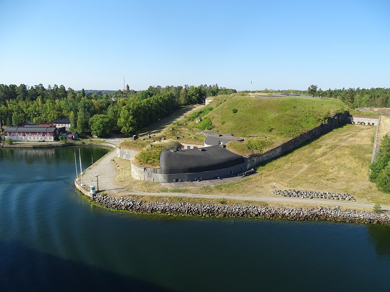
Oskar-Fredriksborg Fortress ranks #6,475 of 9,040 worldwide in the atlas's castle fame ranking, and #183 of the 209 mapped in Sweden. Founded 1877, it is older than 5% of the atlas's dated landmarks, one of 705 atlas entries founded in the 19th century. 24 more atlas landmarks stand within 25 km. The nearest day-trip guide is Stockholm, 22 km away. See how Sweden compares in the castle statistics.
Oskar-Fredriksborg Fortress is a historic fortification on eastern Rindö in the Stockholm archipelago in the municipality of Vaxholm. The fortress was built in the years 1870 to 1877 and takes its name from the place Oskar-Fredriksborg, which lies close by. Since 2002 the fortress has been designated a state architectural monument (byggnadsminne) by the state property authority Statens fastighetsverk. East of the fortress, across the Oxdjupet, lies Fredriksborg Fortress. That one dates from 1735.
Machine-translated from “Festung Oskar-Fredriksborg” on the German Wikipedia, CC BY-SA 4.0.
View on the interactive castle map →