 Greece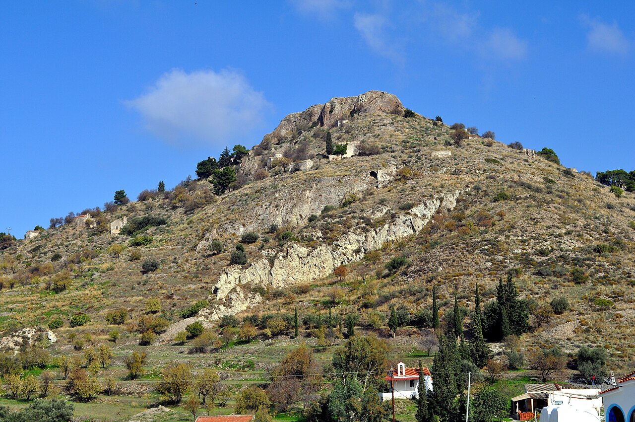
Paliachora (Παλιαχώρα), also known as Palaia Chora (Παλαιά Χώρα) and Palaiochora (Παλαιοχώρα) is an abandoned Medieval settlement on Aegina, one of the islands off the coast of Attica in Greece. Paliachora was the main centre of habitation on the island from the Middle Byzantine period until the beginning of the 19th century. It was built on a peak in the northern part of the island, above the monastery of Agios Nektarios, next to the road from the city of Aigina on the west coast to Mesagros and the Temple of Aphaia in the east. It has been nicknamed the "Mystras of Aigina."
Text adapted from “Paliachora” on Wikipedia, CC BY-SA 4.0.
Palaiochora ranks #6,222 of 9,079 worldwide in the atlas's castle fame ranking, and #77 of the 134 mapped in Greece. The nearest day-trip guide is Athens, 33 km away. It is one of the 34 landmarks on the atlas's regional map of the Peloponnese. See how Greece compares in the castle statistics.
View on the interactive castle map →