 Ukraine · 10th century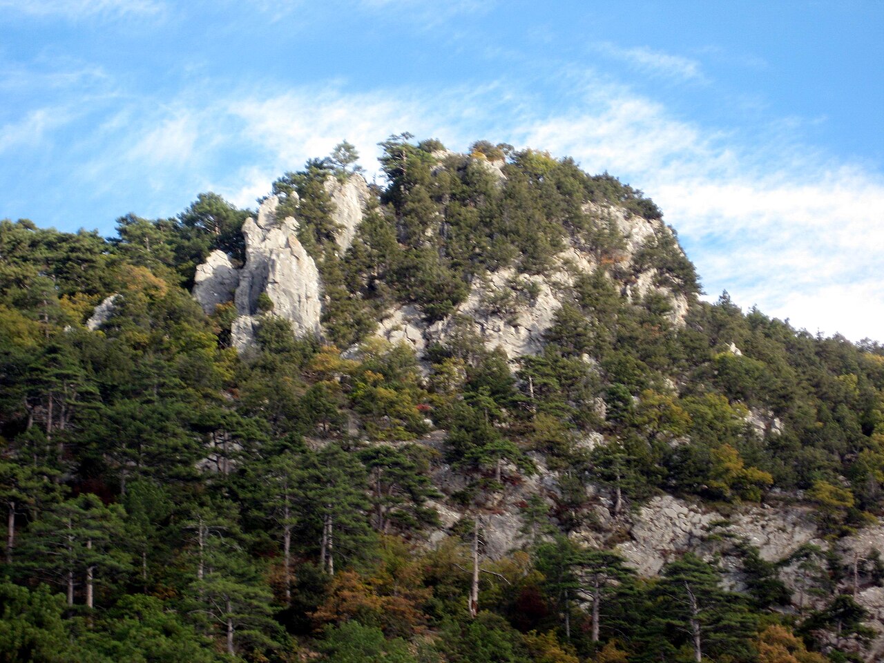
Paleokastron is the ruins of a watch fortification of the 10th–13th century, located on the southern coast of Crimea above the northwestern outskirts of the settlement of Nikita, above the South Coast Highway. The name derives from Greek παλαἰὂς ϰάστρον, "old fortress". By decisions No. 595 of 5 September 1969 and No. 16 of 15 January 1980 (registration No. 486) of the Crimean Regional Executive Committee the fortification "Paleokastron" of the 10th–15th century was declared a historical monument of regional significance.
Machine-translated from “Палеокастрон” on the Russian Wikipedia, CC BY-SA 4.0.
Paleokastron ranks #8,998 of 9,079 worldwide in the atlas's castle fame ranking, and #195 of the 195 mapped in Ukraine. Founded c. 1000, it is older than 91% of the atlas's dated landmarks — one of 193 atlas entries founded in the 10th century. 16 more atlas landmarks stand within 25 km. The nearest day-trip guide is Simferopol, 49 km away. See how Ukraine compares in the castle statistics.
View on the interactive castle map →